
The ultimate street signs, historical sites and house numbers


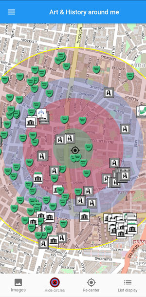
When the app is opened, the user will be presented with a map centered on its geographical location, on which icons are displayed that mark historical and artistic sites around it.
The circles with different colors mark the distance from the user 200, 500, 700 and 1000 meters respectively.
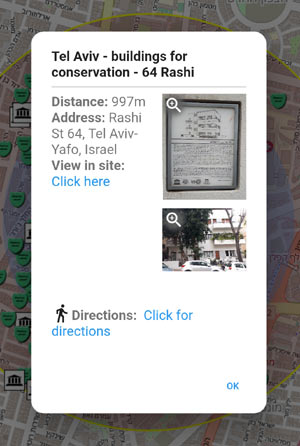
Clicking on one of the icons displayed on the map will show a more detailed description of the site: its name, distance from the user, its address, and a link to the page dedicated to it on the web site.
A picture or two depicting the sign and the site itself will also be displayed.
Clicking on the Directions link will display a Google map with a walking route from the user's location to the requested site.
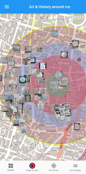
Clicking on the left icon in the bottom toolbar will change the view so that thumbnails of the sign depicting the site will be displayed instead of icons.

By clicking on the right icon in the bottom toolbar, the map will be replaced by a list of sites, sorted by their distance from their current location to the user. This view also shows the name of the site, its distance from the user and an image.
Clicking will display a detailed description of the site (identical to the description displayed in the map view)
In addition you can change the current location (and view different places even in other cities and countries), change the maximum size of the view (ie more than 1000 meters), remove the distance circles view, and more.
As mentioned: Details of the app's features can be found in the "Help" menu in the App.
 Possible Worlds Ltd.
  © 2019-2026