You can change any of the parameters that make up the route, the length, type (circular or straight), starting point and even the series of signs.
Distance (km):
1
2
3
4
5
6
7
8
9
10
Type:
Circular (starts and ends at the same point)
Straight (start point different from end point)
Select Sign series or tag:
Sign series
Tag
The series / Tag:
--- A series/ tag must be selected ---
"Land marks" program
A memorial site the Palmach-Harel Brigade
A tour following "Someone to Run With"
Apollo Theater Walk of Fame
Ashdod -The blue route
Berkeley Poetry Walk
Blois - historical places
Boarding Gates
Buildings in Gan Shmuel’s history
Buildings in the history of Kfar Vitkin
Buildings in the history of Ramot HaShavim
Buildings in the history of Sde Warburg
Calvin Square plaque
Ceramic street signs in Madrid
Cities in the Loire Valley
Commemoration of Underground Movements in Tel Aviv
Coronavirus pandemic
Decorated ceramic signs
Discovery Tree Walk - The Hebrew University
Ecological Botanical Garden in Abu Kabir, Tel Aviv
England Blue Plaques
Entin Square tiles - Tel Aviv University
Fauna & Flora in Hayarkon Park
Ganei Yehoshua - At Olami
Gardens in Paris
Givatayim - Rishonim route
Greenwich - Globe Exhibition, Slave Trade
Hadera - The eucalyptus track
Handling dog poo
Heritage Sites in Israel
Histadrut Garden - Youth Movement Trail
Historic sites in Old Jaffa and Jaffa port
Historical Sites in Petah Tikva
History in pictures of Givat Haim
History of the Port of Tel Aviv
I Love ...
Independence Trail (TLV)
Interior of subway and railway stations
Jerusalem - Amulet Authority
Jerusalem - HaMesila Park - History of the railway line
Jerusalem - Haviva Netiva and Aviva route
Jerusalem - the built heritage
JNF - Gardens and Parks
Jonathan Trail - Ramat Gan
Kfar Saba - The Tree Path
Kiddush levana
London Underground History
Madrid - "In this place..."
Memorial to the Undergrounds - Petah Tikva
New York - Library Way
New York - Park Avenue plaques
Outdoor sculpture in Tel Aviv
Outdoor sculptures on the Reichman University campus
Outdoor sculptures on the Tel Aviv University campus
Oxford Castle Route
Paris - 100 Years of Metro History
Photograph in stone - Jerusalem
Pictures of Agrobank (Holon) history
Plaques of artists who lived in Tel Aviv
Ramat Gan’s History
Ramat Hasharon - Sculpture Garden
Rishon Lezion - Nobel Laureates
Seine bridges in Paris
Sites in the History of Herzliya
Sites in the history of Rehovot
Story gardens in Holon
Street signs in old Jaffa
Street signs in Ramot Hashavim
Stumbling stone (Stolpersteine)
Tel Aviv - 70 to Israel - Blue and White Art
Tel Aviv - Flora in the Independence Garden
Tel Aviv - in our streets (In full exclusion)
Tel Aviv - London Garden - Ha’apala story
Tel Aviv - Sarona complex - buildings for preservation
Tel Aviv - White city - buildings for conservation
Tel Aviv Orchard
Tel Aviv Port - Levant Fair
Tel Aviv streets and sites
The Flag trail, Ness Ziona
The Founders’ Path - Kfar Saba
The Founders’ Route & more - Rishon LeZion
The historic wall of Gedera
The History of Paris (Starck's Lollipops)
The history of Ra’anana
The houses of the founders of Tel Aviv
The music walk of fame
The open exhibition at Ramat Gan
The Roman frontier - Pannonian Limes
The Village Park - Rishon LeTsiyon
The Yiddish Theatre Walk of Fame
Tokyo - Circle of Flowers
Topor sculpture garden - Sheba Hospital
Trees in the national park, Ramat Gan
Tuileries Gardens sculptures
Union Square Timeline
Vienna - A city introduces itself
Vienna - Walk of Fame
Warnings about animals
World Heritage Sites
Wroclaw Historical Trail
Yad La-Shiryon - Tank Display
Yiddish Writers Garden
Zichron Yaacov - Wine Road
The sign used as the starting point:
--- A sign must be selected ---
Bath - commemorative plaque at BATH SPA railway station
Bath - the house where the writer Edmund Rack lived
Bristol - the place where Mark Barraud and his dog Nipper lived (HMV logo)
Buckingham - A memorial plaque to the place where the Beatles appeared
Cambridge - A memorial plaque to the place where educator Henry Morris lived
Cambridge - A memorial plaque where mathematician Alan Turing studied
Cambridge - commemorative plaque at the White Horse Inn
Cambridge - Commemorative plaque on the site of Thomas Hobson’s house
Cambridge - Commemorative sign for the inventor of the turbojet engine Frank Whittle
Cardiff - Commemorative plaque on the site of the old library
Chessington - the house where children’s author Enid Blyton lived
Commemorative plaque in the house where the statesman Sir Harry Vane lived
Durham - A memorial plaque where Elizabeth Bowes lived
Durham - A memorial plaque where the archaeologist William Greenwell lived
Liverpool - A memorial plaque where John Lennon lived as a child
Liverpool - The Lyceum
London - A commemorative plaque on the house from which Chopin went to his last concert
London - 221B Baker Street, the place of residence and work of Sherlock Holmes
London - A board indicating the establishment of the Marylebone Cricket Ground
London - A commemorative plaque in the flower shop of Constance Spry
London - A commemorative plaque in the house where suffragist Sylvia Pankhurst lived
London - A commemorative plaque in the house where the Prime Minister Andrew Bonar Law lived
London - A commemorative plaque in the place where the entrepreneur Henry Wellcome lived
London - A commemorative plaque in the residence of Karl Ghattas
London - A commemorative plaque where the actor and theater director Herbert Tree lived
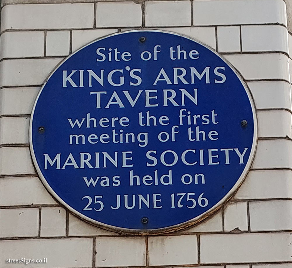
London - A commemorative sign at the place of founding meeting of The Marine Society
London - A commemorative sign where the composer Eric Coates lived
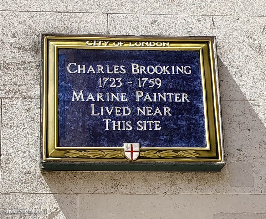
London - A commemorative sign where the painter Charles Brooking lived
London - A commemorative sign where the writer W. W. Jacobs lived
London - A memorial plaque at the house where politician and writer Violet Bonham Carter lived
London - A memorial plaque at the school where the conductor, Leopold Stokowski, studied
London - A memorial plaque in the house where engineer Robert Stephenson lived until his death
London - A memorial plaque in the house where the musician George Alexander Macfarren lived
London - A memorial plaque in the place where Bhimrao Ramji Ambedkar
London - A memorial plaque in the place where Courtesan/fashion leader Catherine Walters lived
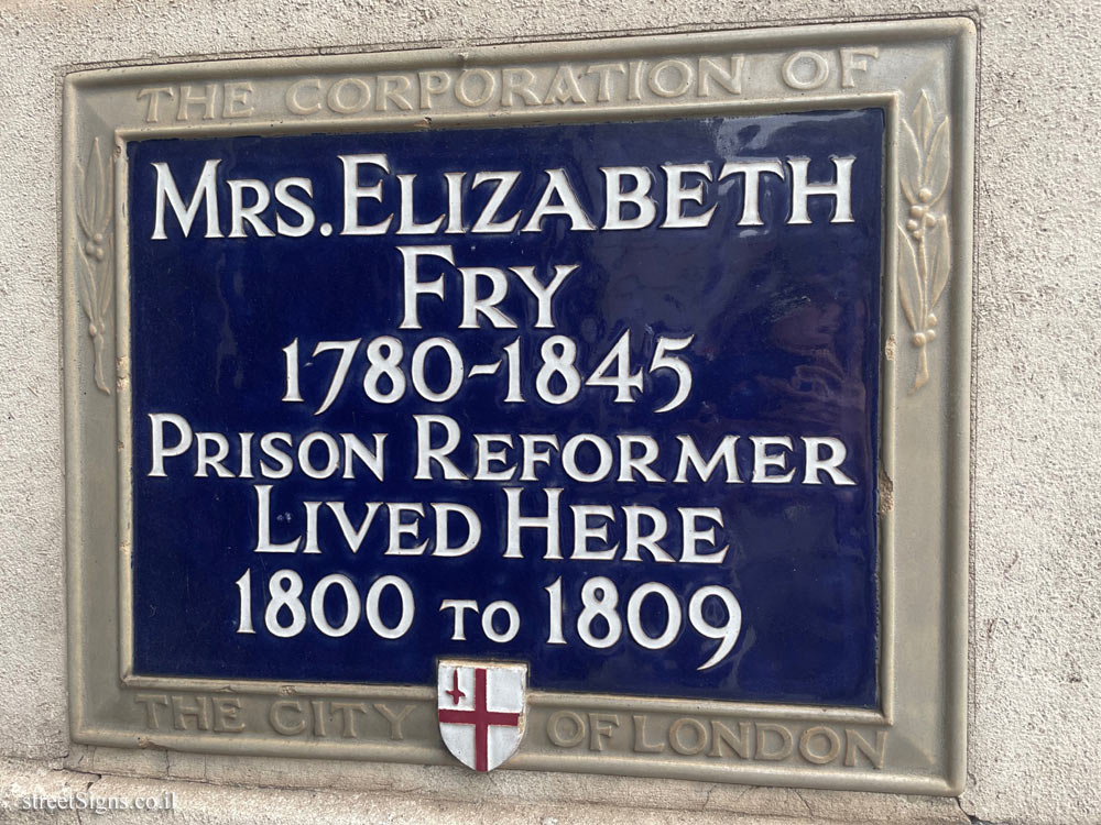
London - A memorial plaque in the place where Elizabeth Fry lived
London - A memorial plaque in the place where the architect Charles Edmund Peczenik lived
London - A memorial plaque on the first site Bethlem Hospital
London - A memorial plaque on the home of author Dodie Smith
London - A memorial plaque on the home of Charles Dickens and the magazine office he edited
London - A memorial plaque on the home of the clockmaker John Harrison
London - A memorial plaque on the site of the Jewish Board of Guardians
London - A memorial plaque on the site where James Purdey set up his showroom and workshops
London - A memorial plaque on William Huskisson
London - A memorial plaque to the poet John Betjeman at Marylebone Railway Station
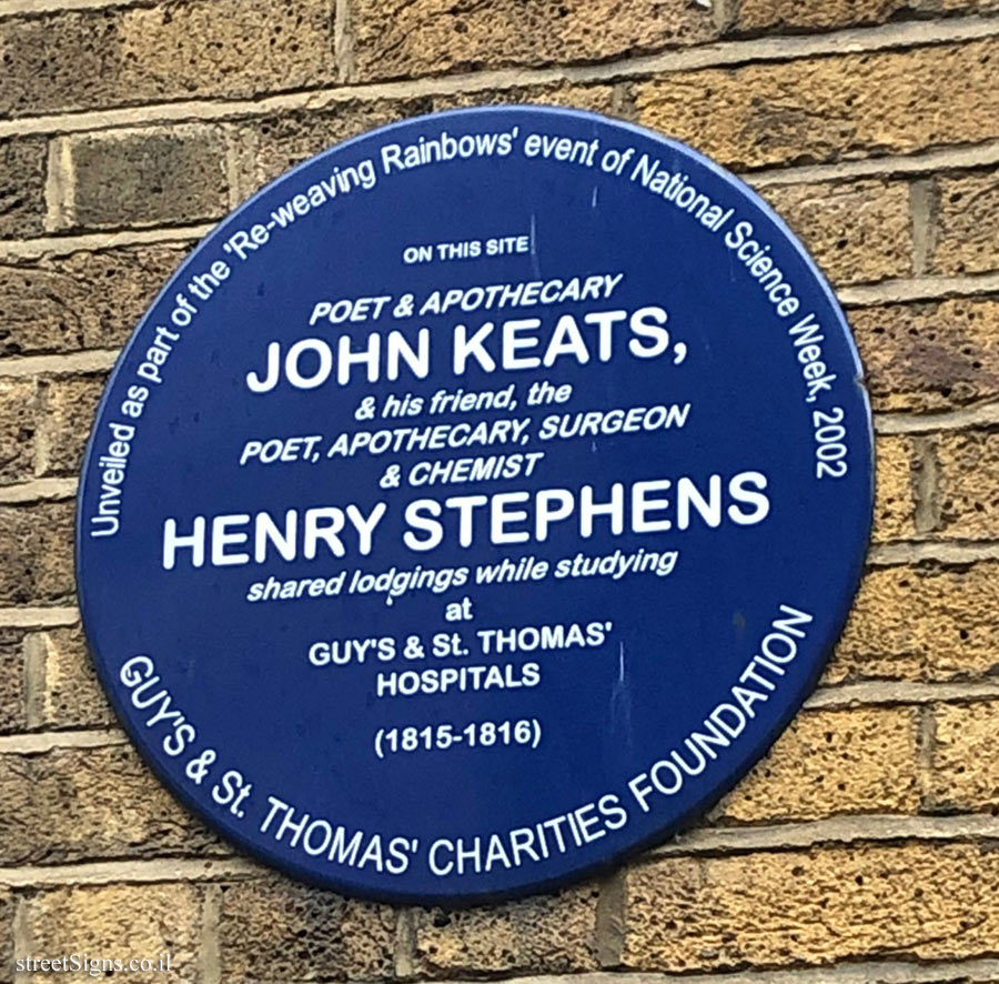
LONDON - A memorial plaque where John Keats and Henry Stephens lived
London - A memorial plaque where members of the Bee Gees band stayed and worked
London - A memorial plaque where the author Daphne du Maurier lived
London - A memorial plaque where the conductor Henry Wood lived
London - A memorial plaque where the painter Mark Gertler lived
London - A memorial plaque where the playwright Arthur Wing Pinero lived
London - A memorial plaque where the singer Billy Fury lived
London - A memorial plaque where the singer Clara Butt lived
London - A memorial plaque where the statistician Karl Pearson lived
London - A memorial plaque where the theologian Frederick Denison Maurice lived
London - A plaque commemorating William Nicholson in one of the pubs he founded
London - A plaque indicating the residence of Charles Dickens
London - A sign commemorating firefighter Colin Townsley who perished while putting out a fire
London - a sign commemorating the meeting place of publishers and songwriters - Tin Pan Alley
London - A sign where the composer Charles Ives was staying
London - A sign where the writer Arnold Bennett lived
London - A sign where the writer H.G. Wells lived
London - Abbey Road Studios - Commemorative plaque for composer Edward Elgar
London - Aldridge’s Horse Bazaar
London - Commemorating the first performance of Beethoven’s Ninth Symphony
London - Commemoration of John Stephen - "King of Carnaby Street"
London - commemorative plaque at the birthplace of the actor Sir Alec Guinness
London - commemorative plaque at the birthplace of the mathematician Alan Turing
London - Commemorative plaque at the Duchess Theatre
London - Commemorative plaque at the Garrick Theatre
London - Commemorative plaque at the Palace Theater
London - Commemorative plaque at the place where Charles Eamer Kempe lived and worked
London - Commemorative plaque at the place where conductor Thomas Beecham lived
London - Commemorative plaque at the place where Detective Raymond Purdy was killed
London - Commemorative plaque at the place where drummer Tony Meehan lived
London - Commemorative plaque at the place where Field Marshal Edmund Allenby lived
London - Commemorative plaque at the place where Mansfield Smith-Cumming lived and worked
London - Commemorative plaque at the place where Millay, Hope and Francis Bacon lived
London - Commemorative plaque at the place where nurse Mary Seacole lived
London - commemorative plaque at the place where Sinologist Arthur Wiley lived
London - Commemorative plaque at the place where the actor Kenneth Williams lived
London - commemorative plaque at the place where the architect John Nash lived
London - commemorative plaque at the place where the cartoonist George du Maurier lived
London - Commemorative plaque at the place where the cellist Jacqueline du Pré lived
London - commemorative plaque at the place where the engineer Joseph Bazalgette lived
London - commemorative plaque at the place where the historian James Anthony Froude lived
London - commemorative plaque at the place where the inventor Richard Arkwright lived
London - Commemorative plaque at the place where the painter Gerald Kelly lived
London - commemorative plaque at the place where the painter John Lavery lived
London - commemorative plaque at the place where the painter Lawrence Alma-Tadema lived
London - commemorative plaque at the place where the painter Roger Fry lived and died
London - commemorative plaque at the place where the painter William Strang lived
London - Commemorative plaque at the place where the pharmacologist Henry Dale lived
London - commemorative plaque at the place where the philosopher Alfred Jules Eyre lived
London - commemorative plaque at the place where the singer Al Bowlly lived
London - commemorative plaque at the place where the statesman David Ben-Gurion lived
London - Commemorative plaque at the place where the writer Nancy Mitford worked
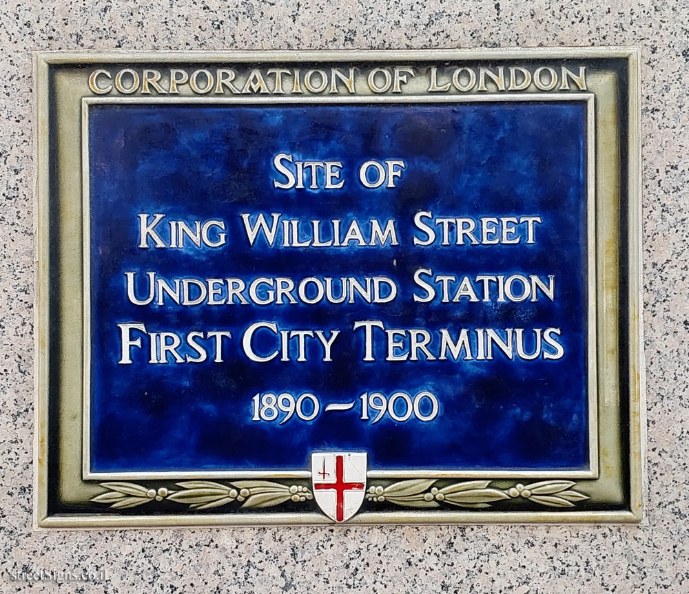
London - Commemorative plaque at the site of the "King William" subway station
London - Commemorative plaque at the site of the first recording studio in Europe
London - Commemorative plaque for actor Sam Wanamaker near Shakespeare’s Globe
London - Commemorative plaque for contact lens manufacturer George Nissel
London - Commemorative plaque for the 200th anniversary of the Marylebone Cricket Club
London - Commemorative plaque for the first black train driver at King’s Cross Station
London - Commemorative plaque for the steadfast stand of the people of Westminster in WWII
London - Commemorative plaque in a house built for the painter Augustus John
London - Commemorative plaque in Montagu Pyke
London - commemorative plaque in the house where Charles Dickens lived in the years 1851-1860
London - Commemorative plaque in the house where the actor Nigel Playfair lived
London - Commemorative plaque in the house where the architect Joseph Hansom lived
London - Commemorative plaque in the house where the architect Thomas Henry Wyatt lived
London - Commemorative plaque in the house where the clergyman Tabby Clayton lived
London - Commemorative plaque in the house where the clergyman William Thomas Du Boulay lived
London - Commemorative plaque in the house where the dentist Lilian Lindsay lived
London - commemorative plaque in the house where the essayist William Hazlitt lived
London - Commemorative plaque in the house where the historian W.E.H. Lecky lived
London - Commemorative plaque in the house where the lexicographer H. W. Fowler lived
London - Commemorative plaque in the house where the musician Bob Marley lived
London - Commemorative plaque in the house where the naturalist Gavin Maxwell lived
London - commemorative plaque in the house where the painter Francis Bacon lived and created
London - Commemorative plaque in the house where the painter Philip Wilson Steer lived
London - Commemorative plaque in the house where the painter Walter Greaves lived
London - Commemorative plaque in the house where the photographer Cecil Beaton lived
London - Commemorative plaque in the house where the physicist Dennis Gabor lived
London - Commemorative plaque in the house where the physicist Patrick Blackett lived
London - commemorative plaque in the house where the playwright and writer Samuel Beckett lived
London - commemorative plaque in the house where the poet Jane Wilde lived
London - commemorative plaque in the house where the scientist Rosalind Franklin lived
London - commemorative plaque in the house where the sculptor Carlo Marochetti lived
London - Commemorative plaque in the house where the sculptor Charles Wheeler lived
London - Commemorative plaque in the house where the sculptor Frank Dobson lived
London - Commemorative plaque in the house where the sculptor John Tweed lived
London - commemorative plaque in the house where the writer A. A. Milne
London - commemorative plaque in the house where the writer and historian Hilaire Belloc lived
London - Commemorative plaque in the house where the writer George Borrow lived
London - commemorative plaque in the house where writer Jean Rhys lived
London - Commemorative plaque in the house where writer Mervyn Peake lived
London - commemorative plaque in the place where the Greek poet Andreas Kalvos lived
London - commemorative plaque in the place where the illustrator Randolph Caldecott lived
London - commemorative plaque in the place where the Portuguese embassy was in the 18th century
London - Commemorative plaque in the place where the writer and freedom fighter Guzmán lived
London - commemorative plaque in the place where the writer Herman Melville lived
London - commemorative plaque in the place where the writer Robert Louis Stevenson lived
London - Commemorative plaque on the clinic of physician and novelist Archibald Joseph Cronin
London - Commemorative plaque on the site of the "The Theater"
London - Commemorative plaque where Arthur Conan Doyle lived and wrote
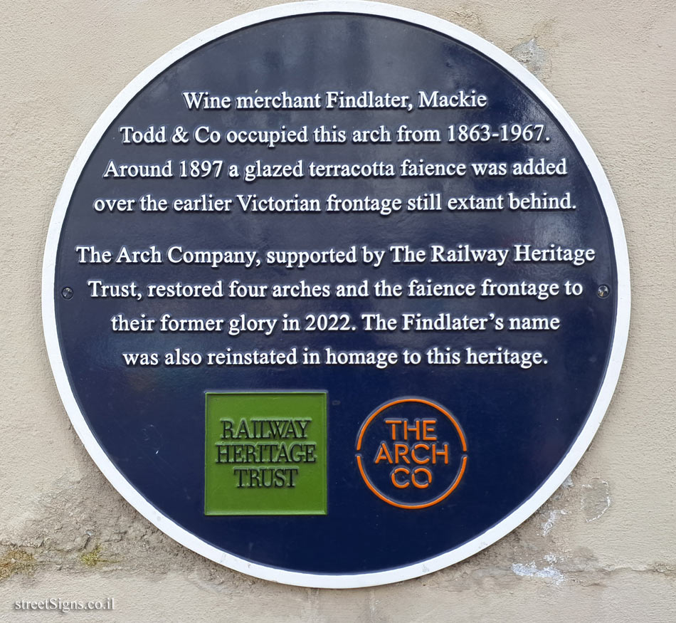
London - Commemorative plaque where Findlater’s liquor store used to be
London - Commemorative plaque where Mary Anne Clarke lived
London - Commemorative plaque where Michael and Enid Balint worked and lived
London - commemorative plaque where the author of suspense novels Agatha Christie lived
London - Commemorative plaque where the composer Hector Berlioz stayed
London - Commemorative plaque where the garden designer Fanny Wilkinson lived and worked
London - Commemorative plaque where the historian A. J. P. Taylor lived
London - Commemorative plaque where the Maze Pond used to be
London - Commemorative plaque where the painter Robert Bevan lived
London - Commemorative plaque where the painter William Roberts lived
London - Commemorative plaque where the poet and writer Sylvia Plath lived
London - Commemorative plaque where the poet Arthur Hugh Clough lived
London - Commemorative plaque where the writer and philosopher Friedrich Engels lived
London - Commemorative sign for astrologer William Lilly
London - Commemorative sign for Edward Watkin, founder of the Great Central Railway
London - English Heritage - The House of Ethel Gordon Fenwick lived
London - English Heritage - The House of George Frideric Handel
London - English Heritage - The House of Harry Selfridge
London - English Heritage - The House of Margot Fonteyn
London - English Heritage - The House of Roger Fenton
London - English Heritage - The House of William Petty
London - English Heritage - The house where J. Arthur Rank worked
London - English Heritage - The house where Jimmy Hendrix lived
London - English Heritage - The house where Sir Laurence Gomme lived
London - English Heritage - Where Simon Bolivar was staying
London - Greenwich - The place Gordon of Greenwich loved
London - Hampstead - commemorative plaque at the place where Charles de Gaulle lived
London - Hampstead - Commemorative plaque at the place where E.V. Knox lived
London - Hampstead - commemorative plaque at the place where the painter Derek Hill lived
London - Hampstead - Commemorative plaque at the place where Walter Besant lived
London - Hampstead - Commemorative plaque at the site of the watch house
London - Hampstead - commemorative plaque in the place where the painter George Romney lived
London - Hampstead - Commemorative plaque in the place where the singer Kathleen Ferrier lived
London - Hay’s Wharf
London - Her Majesty’s Ship Belfast - Engineering Heritage Award
London - Horizon magazine’s editorial
London - John Bray’s home where Charles Wesley’s evangelical conversion took place
London - Joiner Street Bridge
London - London - The National Sporting Club in the years 1929-1891
London - Memorial plaque at the house where poet John Heath-Stubbs lived
London - Memorial plaque at the residence of Sir Francis Chichester
London - Memorial plaque at the residence of William Butler Yeats
London - Memorial plaque in the house where the painter Canaletto lived
London - Memorial plaque on the home of writer and comedian George Grossmith
London - Memorial plaque where José Rizal, a national hero of the Philippines, lived
London - Memorial sign for Gertrude Fogg
London - Paddington Railway Station - Commemorating the "Windrush Generation"
London - Paddington Railway Station - Paddington Bear
London - Peel Cottage - a place where several artists lived
London - Pink sign indicating Kenwood Women’s Pond
London - Plaque at the place where filmmakers Michael Powell and Eric Pressburger worked
London - Plaque commemorating Esther Bruce
London - Plaque in a pub where Graham Chapman used to drink
London - Royal Arsenal - Barracks Court
London - Royal Arsenal - Dial Arch Block
London - Royal Arsenal - East & West Riverside Guardrooms
London - Royal Arsenal - Engineering Heritage Award
London - Royal Arsenal - Main Guard House
London - Royal Arsenal - Main Guard House - History
London - Royal Arsenal - The Paper Cartridge Factory
London - Royal Arsenal - The Royal Brass Foundry
London - Sign on the building of the Guildhall School of Music and Drama
London - Southwark Cathedral
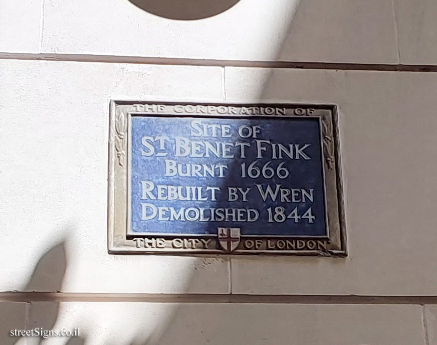
London - St Benet Fink Church
London - St Pancras Railway Station
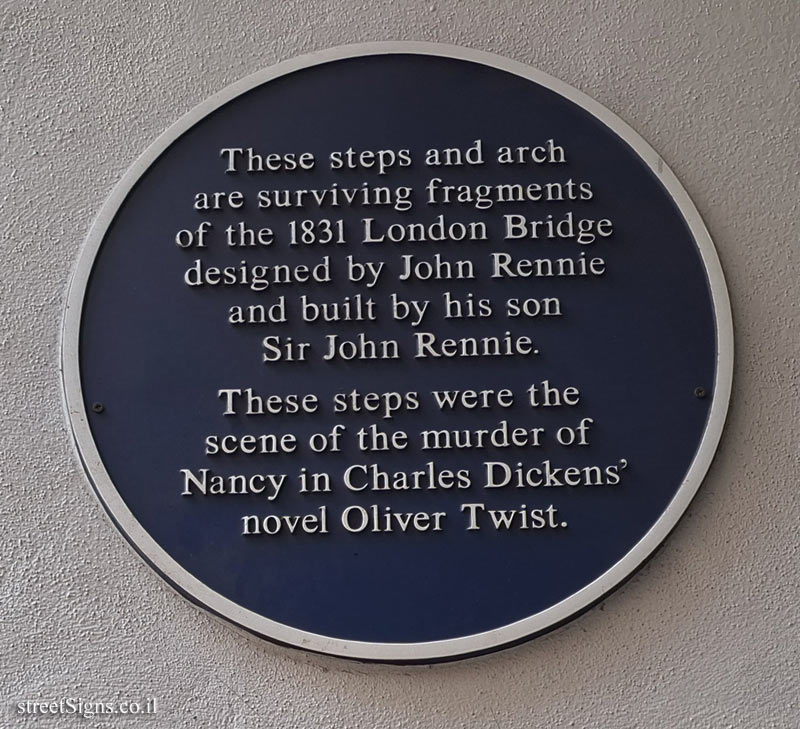
London - Stairs and arch from London Bridge in 1831
London - The "Roundhouse" commemorative plaque in Camden
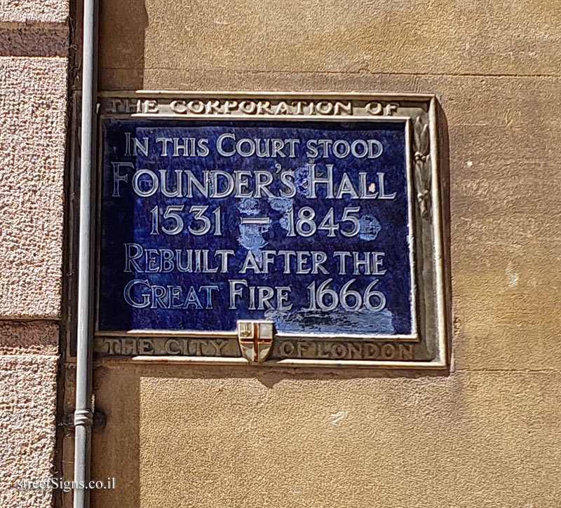
London - The Founders’ Hall
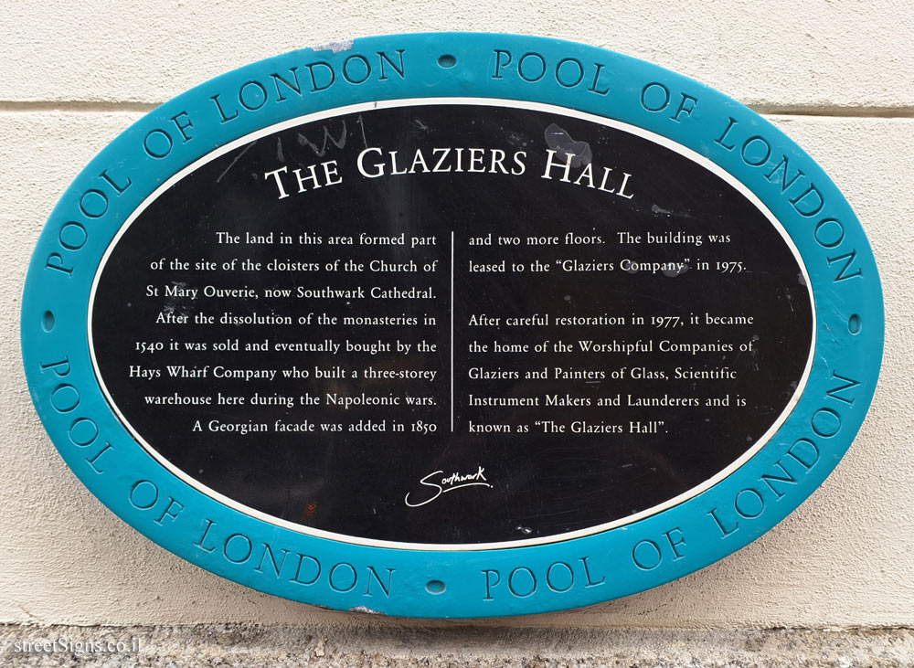
London - The Glaziers Hall
London - The house where Cardinal Nicholas Wiseman lived
London - the house where composer Béla Bartók lived during his stay in London
London - the house where explorer Robert Falcon Scott lived
London - the house where he lived and was the laboratory of the chemist Ambrose Godfrey
London - the house where John Logie Baird made his first experiments
London - the house where photographer Amanda Eliasch lived
London - the house where puppeteer Jim Henson lived, creator of the "Muppets" series
London - the house where Sir Arthur Pearson worked and lived
London - the house where the actor John Gielgud lived
London - the house where the chemist August Wilhelm von Hofmann lived
London - the house where the entertainer and writer Joyce Grenfell lived
London - The house where the French historian and statesman François Guizot lived
London - the house where the French writer and philosopher Voltaire stayed
London - The house where the Geological Society of London was founded
London - the house where the legislator, diplomat and poet Andrés Bello lived
London - the house where the painter Sir Joshua Reynolds lived for 8 years
London - the house where the statesman and intellectual Francisco de Miranda lived
London - the house where the statesman Stafford Cripps was born
London - the house where the writer Pamela Lyndon Travers
London - the house where Winston Churchill lived in the years 1921-1924
London - The house where writer Elizabeth Gaskell was born
London - The Klink prison
London - The legendary HMV music store
London - The Opera Tavern
London - the place where Charles Dickens worked when he was 12 years old
London - The place where Chelsea china was made and writer Tobias Smollett lived
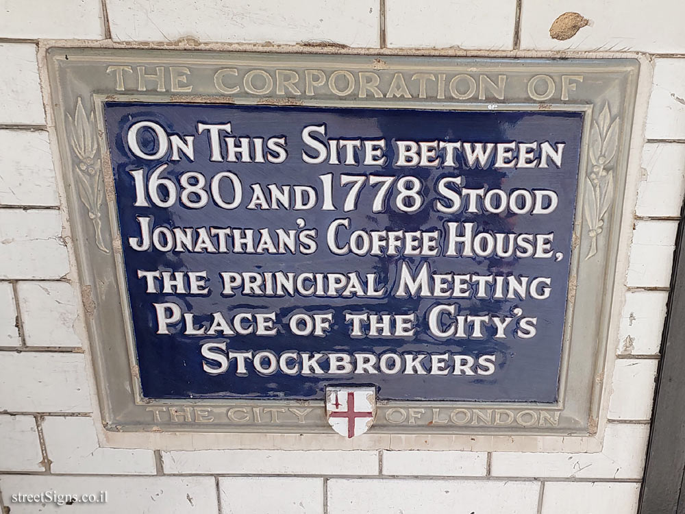
London - the place where Jonathan’s Coffee-House was
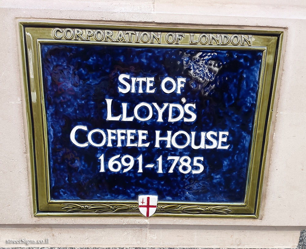
London - the place where Lloyd’s Coffee-House was
London - The place where meteorologist Robert Fitzroy lived
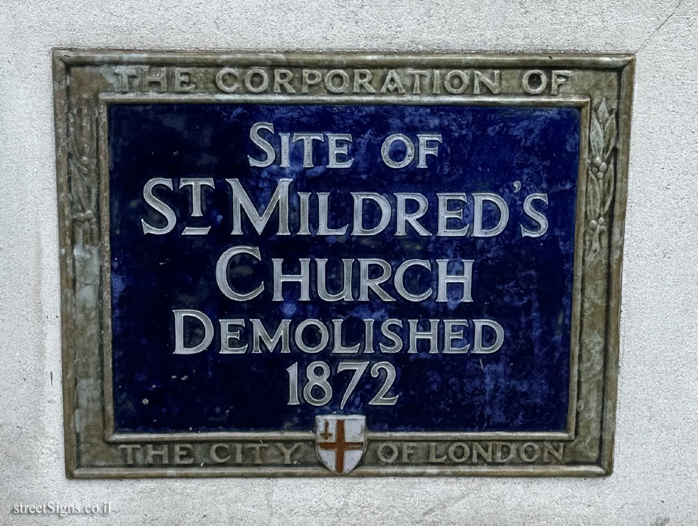
London - The place where Saint Mildred’s Church stood
London - the place where the actor, composer and singer Ivor Novello lived
London - the place where the first television broadcast was held in Great Britain
London - the place where the Football Association was founded and marked the birth of football
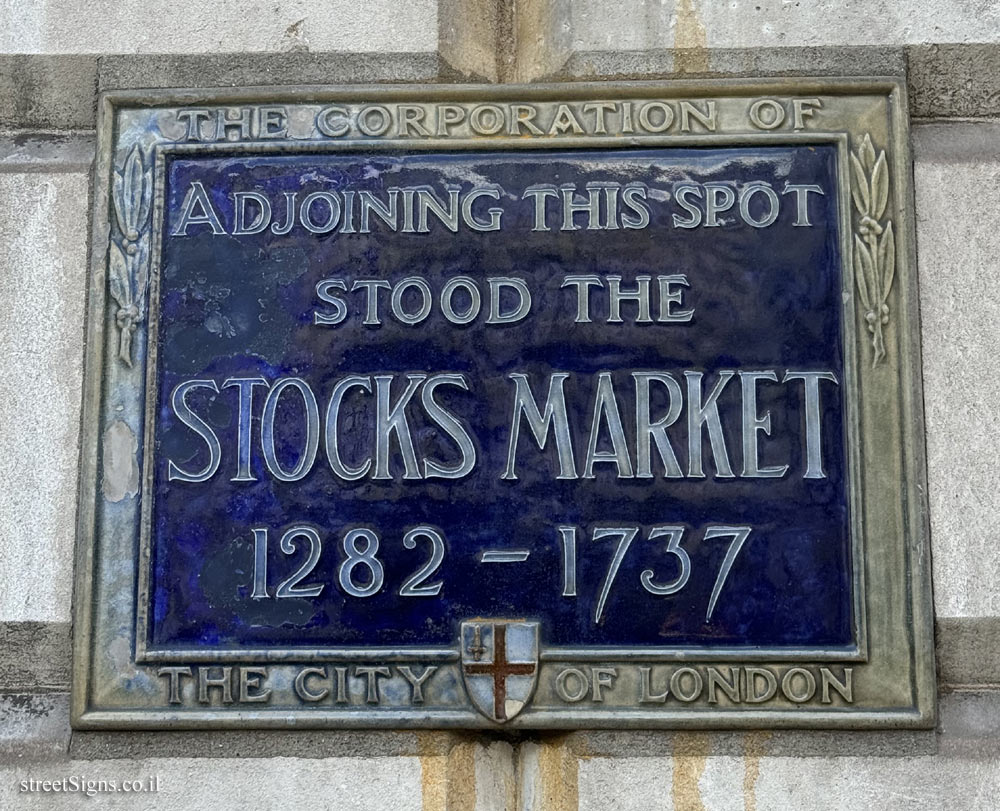
London - The place where the London Stocks Market was
London - the place where the painter Charles Eastlake lived
London - the place where the world’s first high-definition television broadcast was launched
London - the place where they studied and formed the rock band Pink Floyd
London - The residence of Martin Van Buren
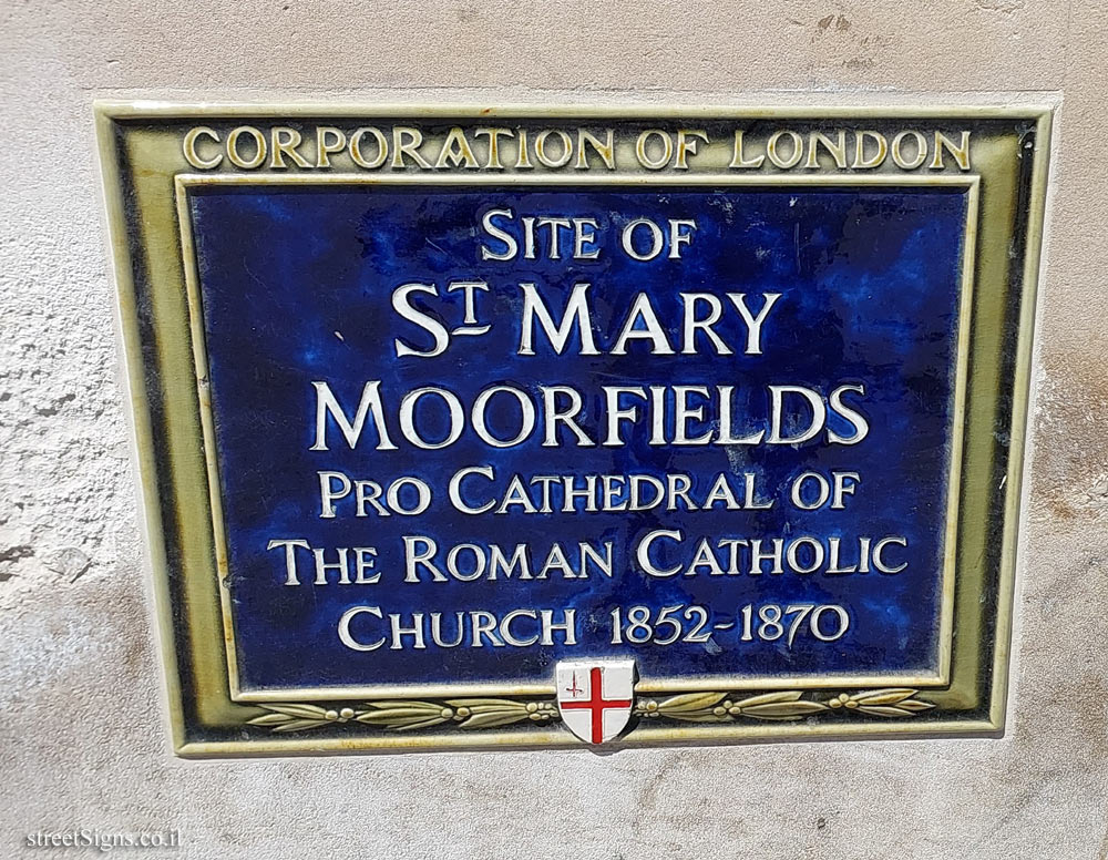
London - The site of St Mary Moorfields Church
London - The site of the potter Josiah Wedgwood’s showroom
London - the studio where they edited the film Monty Python
London - Where Furnival’s Inn was
London-A sign at the place where the attack on the heavy water facilities in Norway was planned
Oxford - Memorial plaque at the house where philosopher Philippa Foot lived
Oxford - Memorial plaque at the place where the painter William Turner of Oxford lived
Oxford - the house where contractors Joshua Symm and Daniel Evans lived and worked
Oxford - the place where women’s rights activist Annie Rogers lived
Stirling - Commendation on the footbridge at Stirling Station
Wimbledon (London) - A memorial plaque in the place where Sister Nivedita lived
York - A tribute plaque to the Dean Court Hotel during the lockdown of the Corona epidemic
York - Commemorative plaque at Seebohm Rowntree’s birthplace
York - Commemorative plaque for the French pilot Yves Mahé
York - Commemorative plaque for the head of the York Civic Trust, John Shannon
York - Plaque commemorating architect E. Ridsdale Tate
York - the place where physics professor Silvanus P. Thompson studied and taught.
York - the street where the doctor Jon Snow lived as a child

 , a route that can be parallel to an aerial route

