Background
The Eucalyptus track is a route of 16 historical sites in the heart of the city of Hadera. In addition to the signs placed at the points of the route, a figure marking the route is stamped on the ground

Historical background
he city of Hadera was founded in 1891 by the people of the first aliyah, after its land was bought by the people of the "Zion Lovers" movement. Initially, the residents lived in the khan of Hadera

, a building that had already existed since the middle of the 19th century

.
The settlers ran into many difficulties mainly due to the swamps in the area. In an attempt to dry up the swamps, eucalyptus trees were planted, which, although they did not succeed in drying up the swamps, gave the name to this route.
As soon as they entered the land, the settlers decided on a building that would be a synagogue

As early as 1894, the moshavah council ("communal council") was elected, including representatives of the associations that established Hadera. The committee also chose the "Mukhtar" who served as the representative of the residents vis-a-vis the Turkish government.
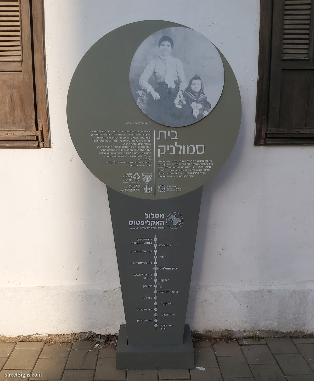
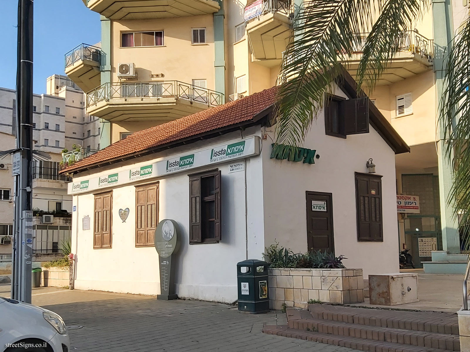
Permanent buildings were erected in 1896, among which the Smolnik House remains to this day

In the same year, a crisis hit Hadera, after they did not succeed in drying the swamps, and because of the diseases and fever, a significant part of the inhabitants left the place, and the lands of Hadera were taken over by Circassians who lived near the place. After a while, the settlers returned, in constant conflict with the Circassians.
The children of the settlers initially studied in the Khan’s building, and in 1904 they moved to the Hankin family’s shack.
In 1898, the first public water pool was dug
In 1910, an "agricultural farm" was established in Hadera with the aim of carrying out research in tillage

.
In 1922, the school was established at Ahad Ha’am Street

In 1922, a central water pool was built, and years later, a water tower was also built there

In 1928, a house and the council of the colony was established

In 1936, the cornerstone was laid for the Great Synagogue, the construction of which was completed in 1941

About the signs
The signs are in the form of a circle at the top of a trapezoid

, where on the circle there are details about the station on the route, while on the trapezoid the map of the route is shown. There is also a rectangular sign located in the "kiosk"


 Signs series: Hadera - The eucalyptus track


 Click for the map of all signs belonging to Hadera - The eucalyptus track
 Click for the route along the series Hadera - The eucalyptus track