You must turn on the browser location services to get the route from your current location to the sign, and the distance (as the crow flies) from your current location to the sign.
After activating location services, refresh the page.
On the sign:
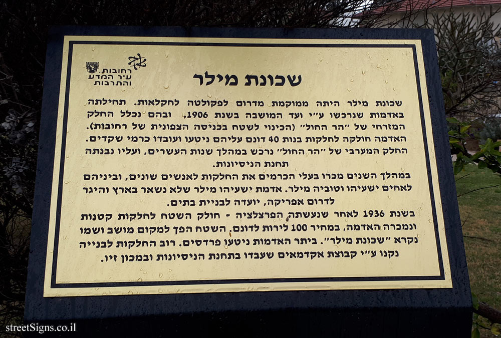
סמל העיר רחובות רחובות - עיר המדע והתרבות
שכונת מילר שכונת מילר היתה ממוקמת מדרום לפקולטה לחקלאות. תחילתה באדמות שנרכשו ע"י ועד המושבה בשנת 1906, ובהם נכלל החלק המזרחי של "הר החול" (הכינוי לשטח בכניסה הצפונית של רחובות). האדמה חולקה לחלקות בנות 40 דונם עליהם ניטעו ועובדו כרמי שקדים. החלק המערבי של "הר החול" נרכש במהלך שנות העשרים, ועליו נבנתה תחנת הניסיונות. במהלך השנים מכרו בעליהכרמים את החלקות לאנשים שונים, וביניהם לאחים ישעיהו וטוביה מילר. אדמת ישעיהו מילר שלא נשאר בארץ והיגר לדרום אפריקה, יועדה לבניית בתים. בשנת 1936 לאחר שנעשתה הפרצלציה - חולק השטח לחלקות קטנות ונמכרה האדמה, במחיר 100 לירות לדונם. השטח הפך למקום מושב ושמו נקרא "שכונת מילר". ביתר האדמות ניטעו פרדסים. רוב החלקות לבנייה נקנו ע"י קבוצת אקדמאים שעבדו בתחנת הניסיונות ובמכון זיו.
The sign is from a series of signs depicting places in the history of the city of Rehovot
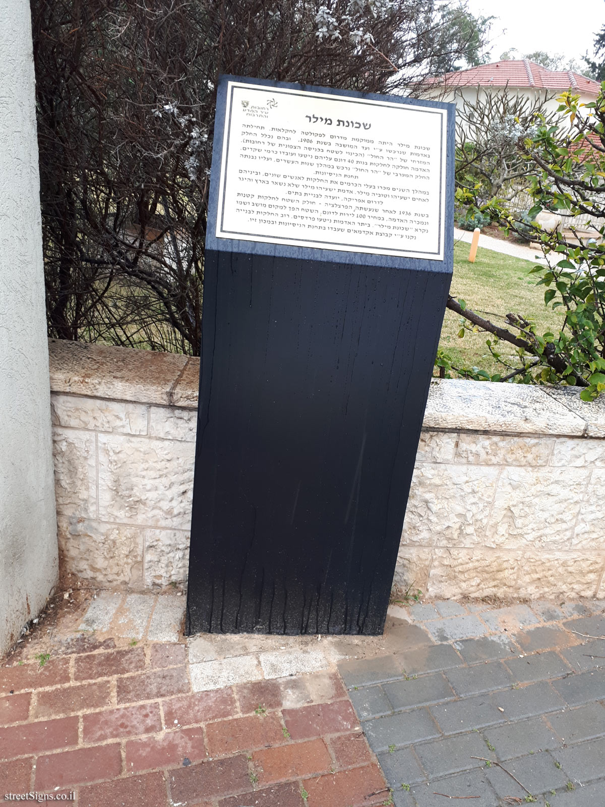
The next photo taken that day shows the sign in full and in the background of houses included in the Miller neighborhood Click for a larger image
Translation of the text on the sign: The emblem of Rehovot Rehovot - City of Science and Culture
Miller neighborhood The Miller neighborhood was located south of the Faculty of Agriculture. It dates back to the lands purchased by the settlement committee in 1906, which included the eastern part of the "sand mountain" (the designation for the area at the northern entrance of Rehovot). The land was divided into 40-acre plots on which planted and cultivated almond vineyards. The western part of the "sand mountain" was acquired during The 1920s, on which the test station was built. Over the years, vineyard owners sold the plots to various people, including brothers Isaiah and Tuvia Miller. The land of Isaiah Miller, who did not stay in Israel and immigrated to South Africa, was designated for building houses. In 1936, after the parcellation was done, the land was divided into small plots and the land was sold at a cost of 100 pounds per acre. The area became a place of settlement and its name was called the Miller neighborhood. On the other lands orchards were planted. Most of the plots for construction were bought by a group of academics who worked at the experimental station and at the Ziv Institute.


 Click for a larger image
  Click for all signs belonging to Sites in the history of Rehovot
 1.03 Km |
  1.21 Km |
  1.21 Km |
  1.27 Km |
  - a two-rifle guard post") 3.41 Km
3.41 Km


 Click for the map of all signs belonging to Sites in the history of Rehovot
  Click for the route that starts with this sign and goes through the signs belonging to Sites in the history of Rehovot
 Click for more details on Sites in the history of Rehovot
 The closest sign from this series (521 Meter): Rehovot - The winery neighborhood