Various signs
The ultimate street signs, historical sites and house numbers
× Want to add signs? There is an app! Get it on Google Play Download on the App Store

Sign: Timrat - Single Timrat

Address:
Ha-Alon St 20, Timrat, Israel
Category:
City:
Country:
Shape:
Material:
Placement:
Click here for a map that contains other items in the area

On the sign:
סינגל תמרת

סמל קק"ל סינגל תמרת
סינגל תמרת מחבר נקודות התיישבות יהודית היסטוריות בעמק מהתקופה הקדומה והחדשה.
השביל הותווה ונפרץ בשיתוף פעולה ייחודי בין חניכי מרכז שטח מרחבים פנימיית נווה עמיאל וקק"ל מרחב צפון.

נתוני השביל
אורך השביל: 12.7 ק"מ. כיוון הרכיבה: עם כיוון השעון. המסלול מעגלי. דרגת קושי (טכני ופיסי): בינוני (כחול). גובה מצטבר: 395 מטר. עונה מתאימה לרכיבה: כל השנה.

כללי התנהגות והנחיות רכיבה בשביל
1. השביל מיועד לרכיבה חד סטרית (עם כיוון השעון). הרכיבה תהייה רק בכיוון זה. הרוכב הפוך מסכן את עצמו את הרוכבים האחרים. שילוט השביל מיועד אף הוא לרכיבה בכיוון אחד.
2. אין לרכוב על השביל בימי גשם ועל קרקע בוצית או סלעים רטובים.
3. אין לסטות מתוואי השביל בשום מקרה.
4. השביל עובר בתוך שטחי מרעה. נדרשת זהירות והתחשבות בבקר.
5. בתוואי הותקנו מעברי אופניים בחציית גדרות מרעה. המעבר עליהם דורש זהירות מהחלקה וגישה בזווית ישרה לגדר בדיוק מול המעביר.
6. לאורך השביל אין נקודות מים לשתיה. נא להצטייד בכמות מספקת של מים.
7. בכל התוואי קיימת קליטה טובה לטלפונים ניידים.
8. השביל צר ומיועד לרוכב אחד. לא ניתן לעקוף בקטעי הסינגל.
9. שביל מיועד לרוכבים בעלי מיומנות לרכיבה בשביל מסוג סינגל בינות סלעים ועצים ובמורדות תלולים.
10. אין להדליק אש חוץ מגזיות אישיות בשטח נקי מעשביה.
11. אין לרכב בחשיכה כולל לילות ירח מלא.
12. השביל חוצה דרכי יער במספר נקודות. על הרוכב לעצור לפני חציית דרך ולוודא שהדרך פנויה. זכות קדימה לרכב בנקודות אלו.
13. הרכיבה בשביל מחייבת שימוש בקסדה.
14. השביל מיועד לרכיבת אופניים בלבד.
15. חל איסור מוחלט לנוע על השביל עם אופנועי שטח וטרקטורונים.
16. בכל מקרה האחריות למטיילים והרוכבים בשבילים הינה עליהם. קק"ל אינה נושאת באחריות כלשהי לכל מקרה.

קוד QR -1: להורדת קובץ ניווט למסלול הטיול ולקבלת מידע נוסף סרקו את הקוד

רכיבה מהנה וזהירה. קק"ל מרחב צפון - קהילה ויער
נא להודיע על מפגעים ואירועים חריגים למוקד קו ליער טלפון: 1-800-350-350

[מפת המסלול]

קוד QR -2
Photography:
Add comments, corrections, or missing information. After clicking the "Submit" button you will be taken to a page where you will be required to specify your name and email address.
Please note, you do not need to specify details about the item, these details will be automatically added


Comments:
The QR-code 1 (located inside the remote) links to the e-yarok and JNF website with options for downloading navigation files:
Welcome to the track

The QR-code 2 (on the pole) links to an e-yarok website with details of the Timrat bike trail:
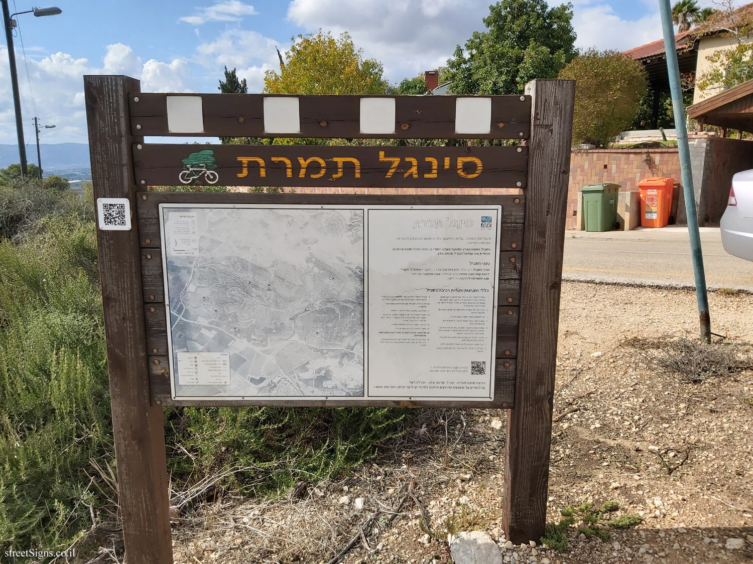
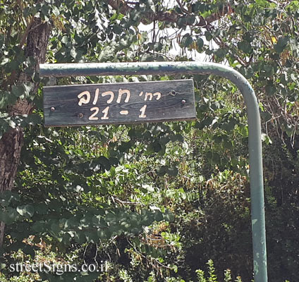
Timrat single near Nahalal - an unusual route - JNF bike tracks

Translation of the text on the sign:
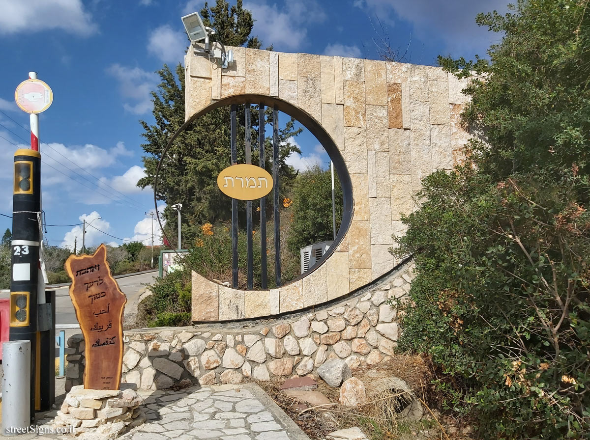
Single Timrat

JNF logo Single Timrat
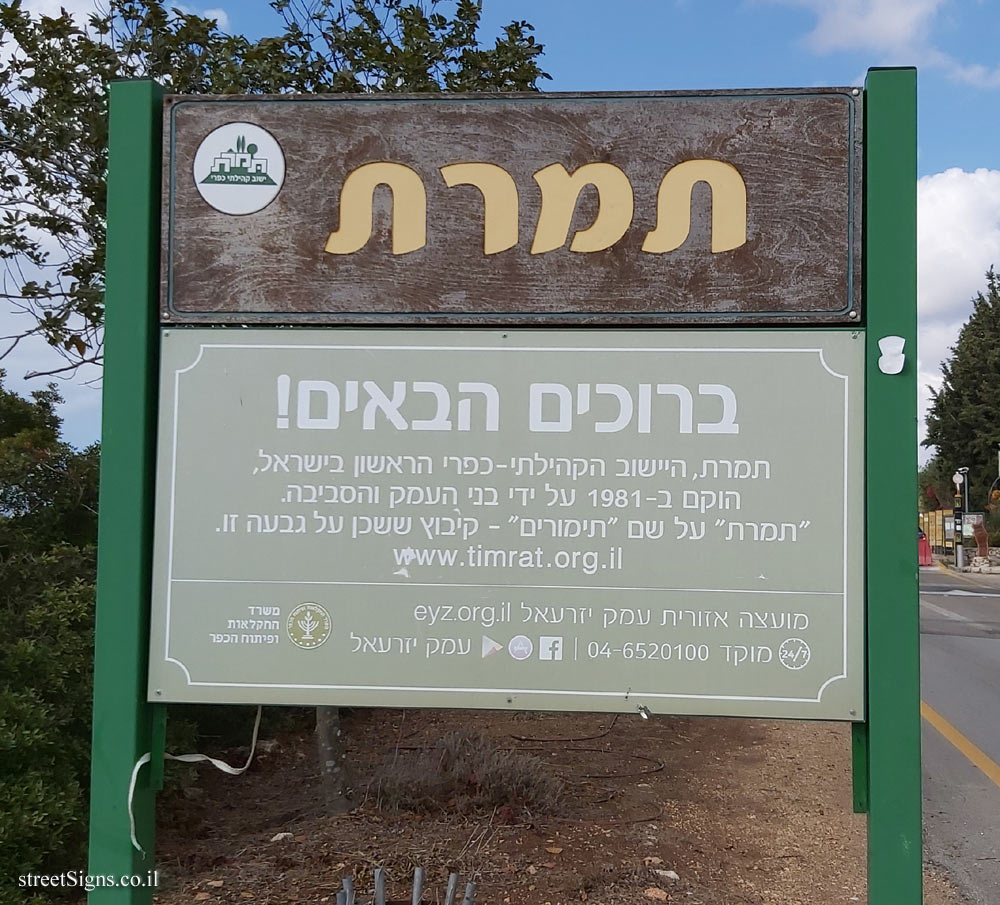
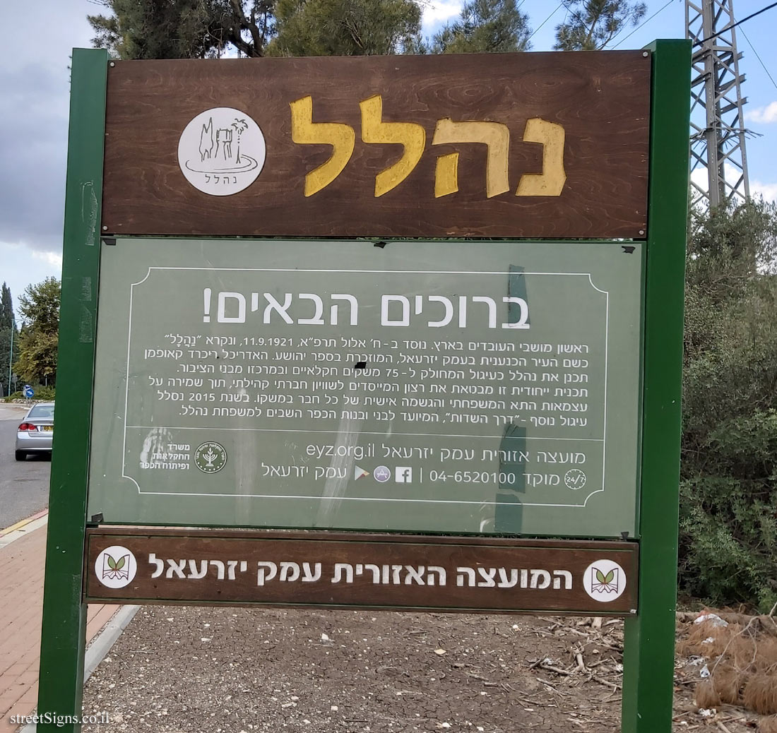
Single Timratconnects historical Jewish settlement points in the valley from the early and the new era.
The trail was paved and unraveled in a unique collaboration between the members of the Merhavim field center, Neve Amiel and the Northern JNF District.

Path data
Trail length: 12.7 km. Riding direction: Clockwise. Circular track. Difficulty level (technical and physical): Medium (blue). Cumulative height: 395 meters. Season suitable for riding: all year.

Rules of conduct and riding directions
1. The trail is designed for one-way riding (clockwise). The riding will only be in that direction. The reverse rider is endangering himself with the other riders. The trail sign is also designed for one-way riding.
2. Do not ride the trail during rainy days and muddy ground or wet rocks.
3. Under no circumstances should the route be deviated from.
4. The trail passes through grassland. Caution and consideration of cattle are required.
5. Bicycle crossings were installed along the pasture crossing. Passing them requires caution from the skate and access at right angles to the fence just in front of the passageway.
6. There are no drinking water points along the trail. Please provide sufficient water.
7. Throughout the route, there is good reception for mobile phones.
8. The trail is narrow and designed for one rider. The singles sections cannot be bypassed.
9. Trail designed for skilled cyclists for a single-track with rocks and trees on steep slopes.
10. No fire aside personal gases in a clean area of ​​herbs.
11. Do not ride in the dark including full moon nights.
12. The path crosses forest roads at several points. The rider must stop before crossing and make sure the road is clear. Right ahead to ride at these points.
13. Riding the trail requires the use of a helmet.
14. The trail is for cycling only.
15. There is a complete prohibition on moving on the trail with SUVs and ATVs.
16. In any case, it is the responsibility of travelers and riders on the trails. JNF bears no responsibility whatsoever for each case.

QR Code -1: Download a navigation file for the itinerary and get more information

Fun and careful riding. JNF Northern Area - Community and Forest
Notify of Hazards and Exceptions to the Hotline of the Forest Phone: 1-800-350-350
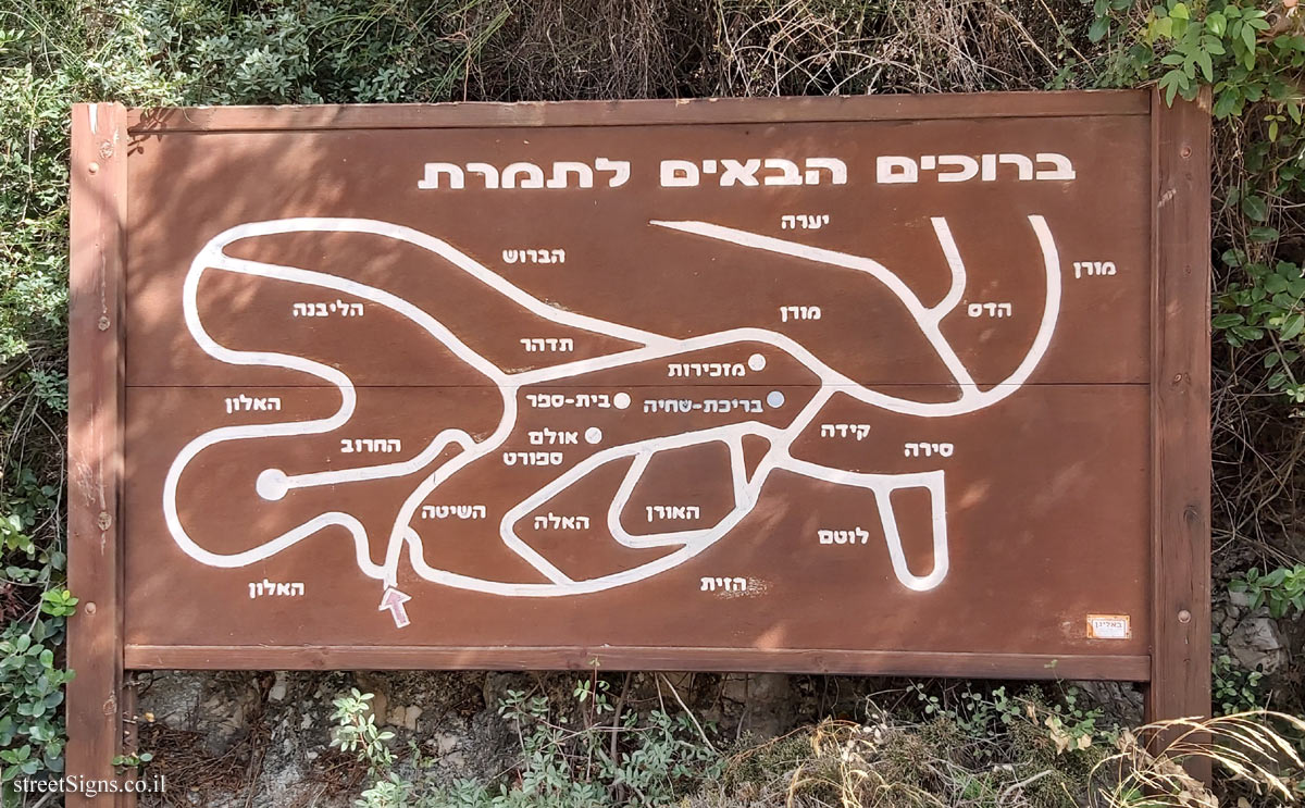
[Route map]

QR code -2


The ultimate street signs, historical sites and house numbers

Initiating the site - Eli Zvuluny - Programming and building the site Possible Worlds Ltd. Possible Worlds Ltd. © 2019-2024

© ALL RIGHTS RESERVED - The site and its content are copyright protected. The full copyrights of the site's content belong to Eli Zvuluny. All images in the site (unless another photographer is mentioned) were taken by Eli Zvuluny that has the full copyrights on them. The use of any images or other materials included herein, in whole or part, for any purpose is expressly prohibited without the written permission of Eli Zvuluny. .