You must turn on the browser location services to get the route from your current location to the sign, and the distance (as the crow flies) from your current location to the sign.
After activating location services, refresh the page.
On the sign:
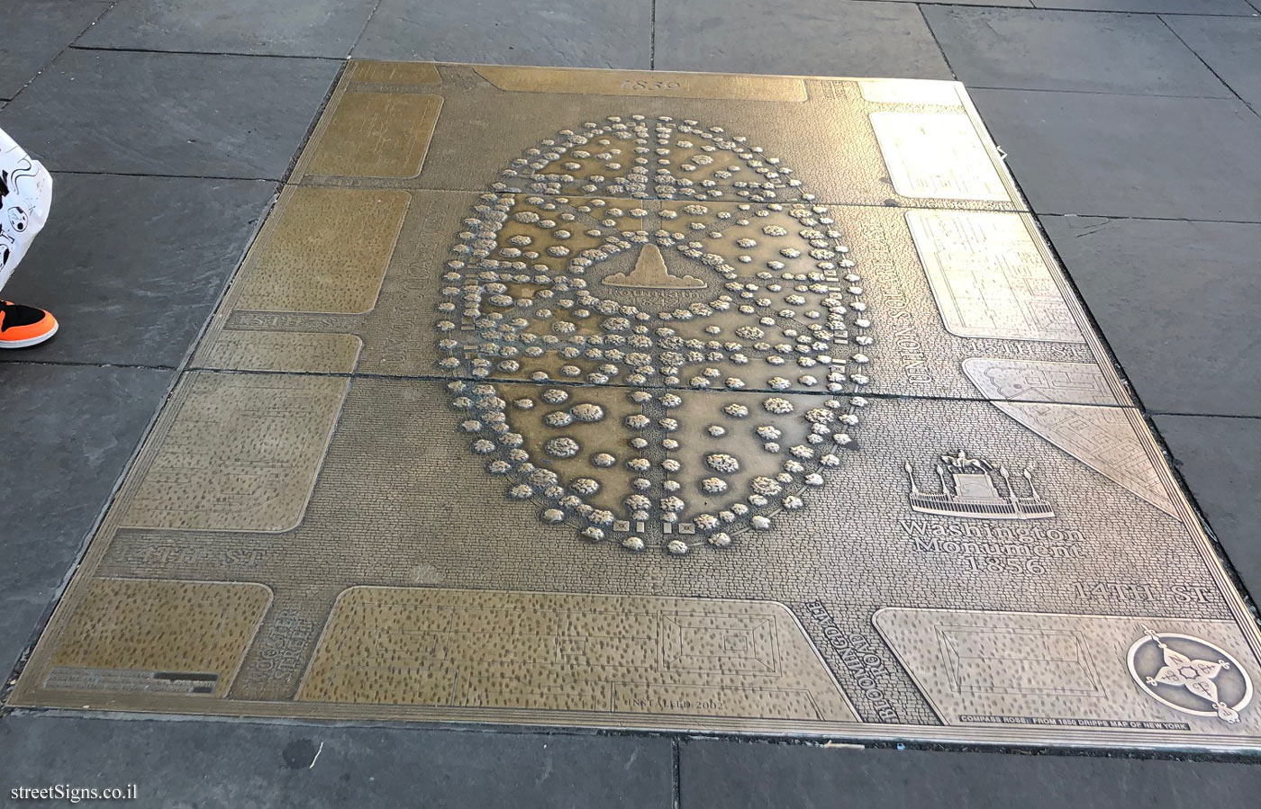
Manhattan Island Native American Settlements in 1600 Native America Settlement Map 1600’s The Ratzer Map 1766 & 1767 Bridges Adaptation of The Commissioners’ Plan of 1811
Union Square was named for the union of Bowerie Lane and Bloomingdale Road, which is now Broadway.
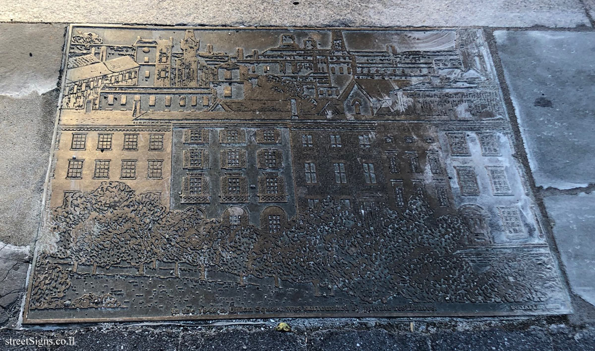
Part of a series of 22 plaques surrounding Union Square depicting the history of the square from 1600 to 1882 - the year in which the first Labor Day Parade took place at Union Square, and labor movement events that were held in the United States (Union)
The plaques are made of bronze, designed by Gregg LeFevre and set up in 2002
The current plaque shows maps of Manhattan between the following years: The main map is the island map before Europeans arrive in New York, with places like Sapokanikan ("the place where tobacco grows" now Greenwich Village), Nechtanc (the place where the Williamsburg Bridge is today) and more.
On the right are 3 small maps showing the area marked on the central map over 3 different periods, the area belonged to the Schepmoes family (the area is east of 14th Street and Second Avenue) The top map shows the area in 1600 before the arrival of Europeans The middle map taken from Ratzer Map (map drawn by Bernard Ratzer) shows the area from 1766-1767 The bottom map is the area map according to the Commissioners’ Plan of 1811, a Manhattan outline plan in which the Manhattan streetscape was actually designed (a grid map of streets that cross avenues at right angles)


 Click for all signs belonging to Union Square Timeline
 Click for the map of all signs belonging to Union Square Timeline
  Click for the route that starts with this sign and goes through the signs belonging to Union Square Timeline
 Click for more details on Union Square Timeline
 The closest sign from this series (8 Meter): New York - Union Square Route - the square in about 1859
 19 Meter
 25 Meter
 31 Meter
 39 Meter
 50 Meter