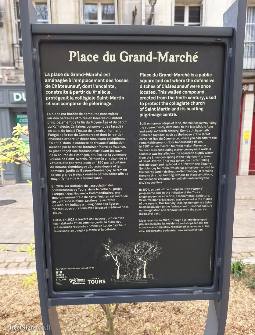
The ultimate street signs, historical sites and house numbers


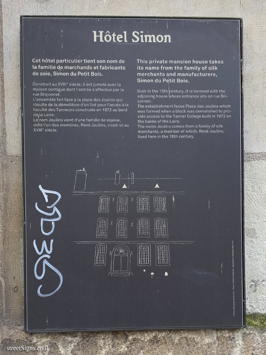
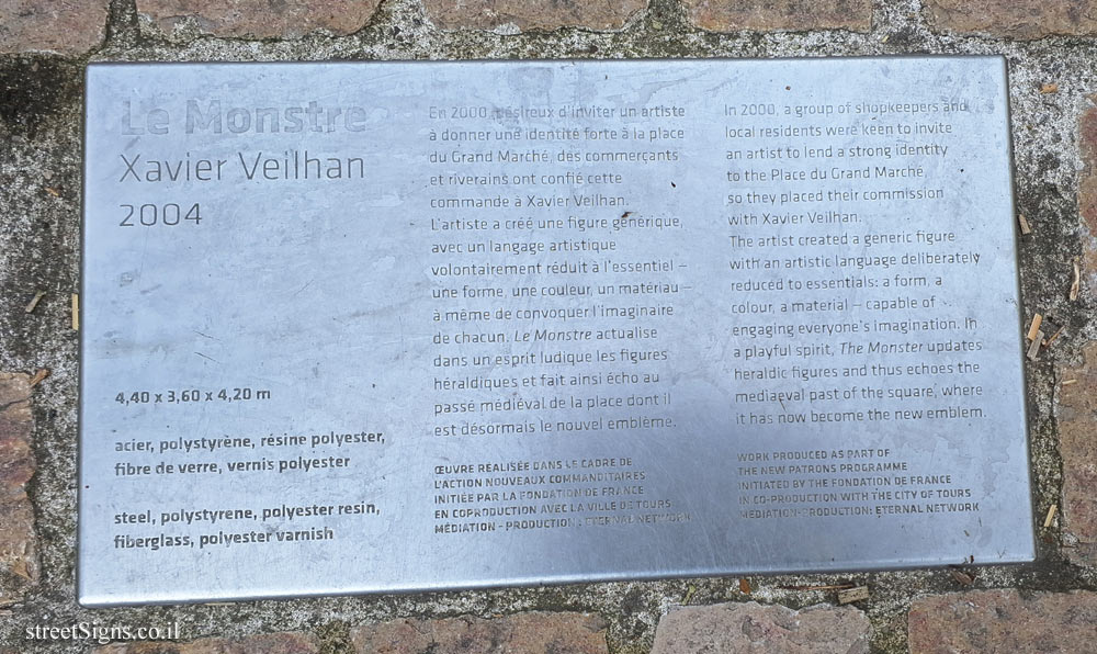
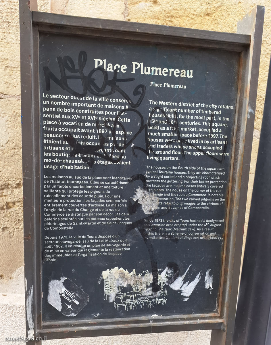
 Click for a larger image
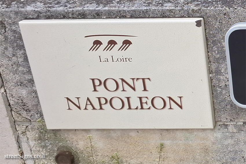
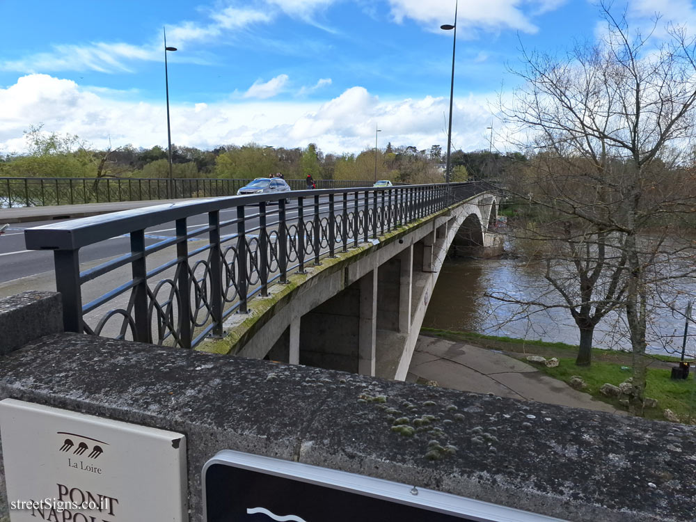
  Click for sign's details. In the following image, from which the sign image was taken, both signs appear, the Loire River and the bridge
 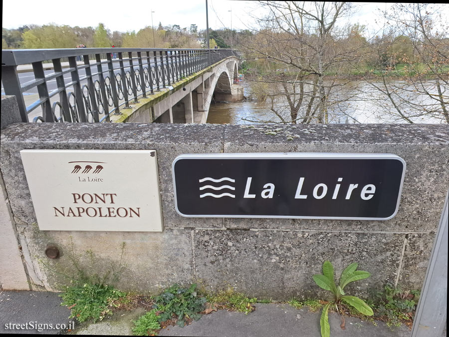 Click for a larger image