You must turn on the browser location services to get the route from your current location to the sign, and the distance (as the crow flies) from your current location to the sign.
After activating location services, refresh the page.
On the sign:
רח הרצל شارع هرتسل Herzl St
רח לילינבלום شارع ليلينبلوم Lilienblum St 80m
פלורנטין فلورنتين Florentine 750m
נווה צדק نيفيه تسيدك Neve Tzedek 250m
שוק הכרמל سوق الكرمل Carmel Market 600m
טיילת החוף كورنيش الشاطئ Tel Aviv Promenade 1000m
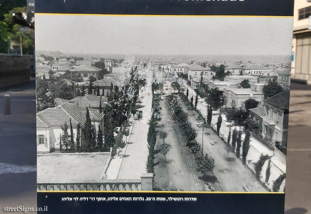
[תמונת שדרות רוטשילד] שדרות רוטשילד, שנות ה-20. גלויות האחים אליהו, אוסף דר דליה לוי אליהו
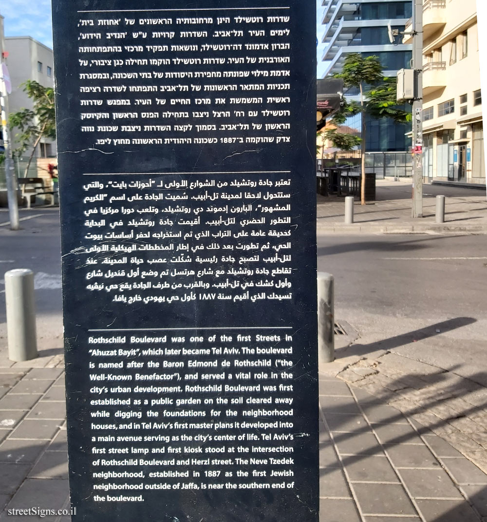
שדרות רוטשילד הינן מרחובותיה הראשונים של אחוזת בית, לימים העיר תל-אביב. השדרות קרויות ע"ש הנדיב הידוע, הברון אדמונד דה-רוטשילד, ונושאות תפקיד מרכזי בהתפתחותה האורבנית של העיר. שדרות רוטשילד הוקמו תחילה כגן ציבורי, על אדמת מילוי שפונתה מחפירת היסודות של בתי השכונה, ובמסגרת תכניות המתאר הראשונות של תל-אביב התפתחו לשדרה רציפה ראשית המשמשת את מרכז החיים של העיר. במפגש שדרות רוטשילד עם רח הרצל ניצבו בתחילה הפנס הראשון והקיוסק הראשון של תל-אביב. בסמוך לקצה השדרות ניצבת שכונת נווה צדק שהוקמה ב-1887 כשכונה היהודית הראשונה מחוץ ליפו.
تعتبر جادة روتشيلد من الشوارع الأولى لـ " أحوزات بايت " ، والتي ستتحول لاحقا لمدينة تل أبيب . شميت الجادة على اسم " الكريم المشهور " ، البارون إدموند دي روتشيلد . وتلعب دورا مركزيا في التطور الحضري لتل أبيب . أقيمت بادة روتشيلد في البداية كضيقة عامة على التراب الذي تم استخراجه لحفر أساسات بيوت الحي ثم تطورت بعد ذلك في إطار المخططات الهيكلية الواقع التل ابيب لتصبح جادة رئيسية شكلت عصب حياة المدينة عنك تقاطع جادة روتشيلد مع شارع هرتسل تم وضع أول قنعيل شارع واول كشك في تل ابيب . وبالقرب من طرف الجادة يقينيقيه تسهلك الذي أقيم سنة ١٨٨٧ باول حميهودي خاويافا
[Image: Rothschild Boulevard] Rothschild Boulevard, 1920s. Postcards Elijah Brothers, Dr. Dalia Levy Eliyahu Collection
Rothschild Boulevard was one of the first Streets in "Ahuzat Bayit", which later became Tel Aviv. The boulevard is named after the Baron Edmond de Rothschild ("the Well-Known Benefactor"), and served a vital role in the citys urban development. Rothschild Boulevard was first established as a public garden on the soil cleared away while digging the foundations for the neighborhood houses, and in Tel Avivs first master plans it developed into a main avenue serving as the citys center of life. Tel Avivs first street lamp and first kiosk stood at the intersection of Rothschild Boulevard and Herzl street. The Neve Tzedek neighborhood, established in 1887 as the first Jewish neighborhood outside of Jaffa, is near the southern end of the boulevard.
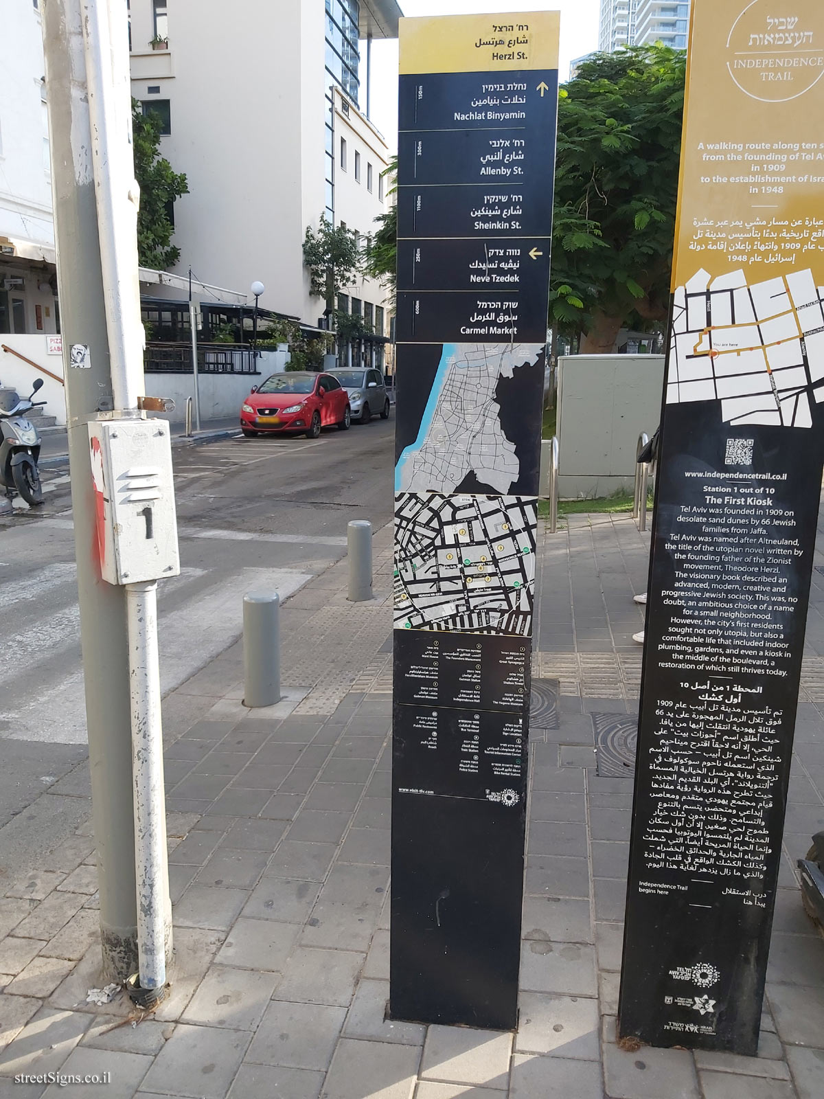
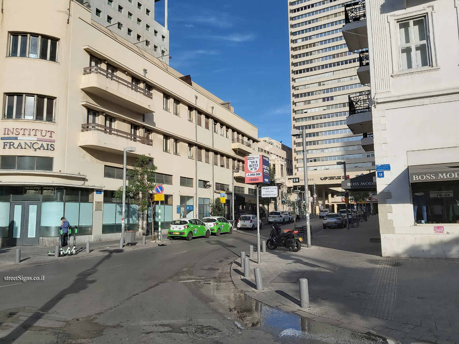
As you can see the top of the sign is used as a direction sign to streets in the area.
The other side of the sign serves as the directional sign, which also includes the area map and important landmarks Click for a larger image
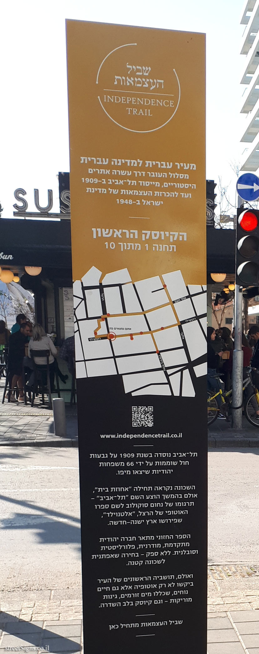
Near the sign is a sign from the Independence Trail - the first kiosk, which also appears on the site Click for sign's details
The following photo taken on that day shows Herzl Street from where the sign is located. In the background you can see the Shalom Tower Click for a larger image