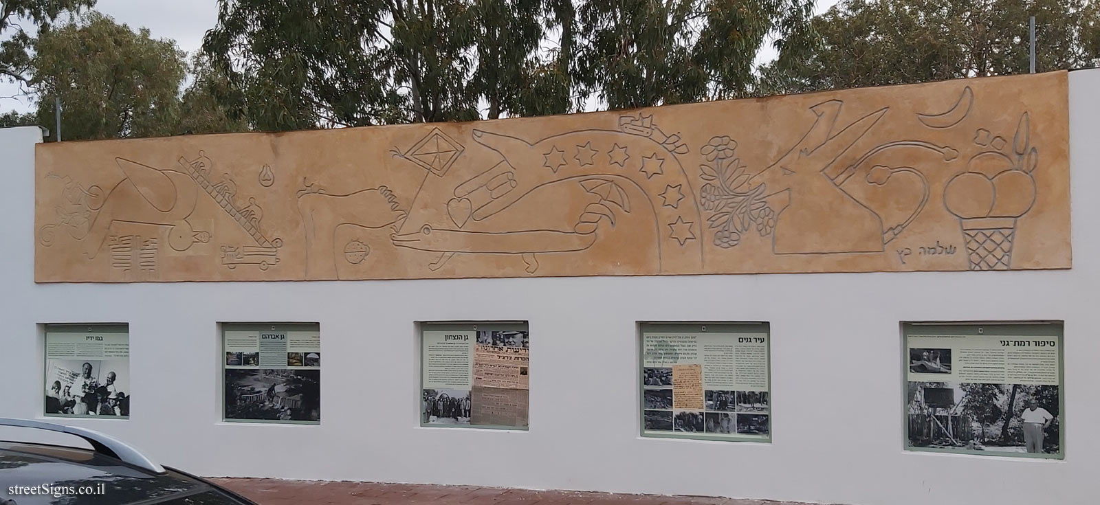
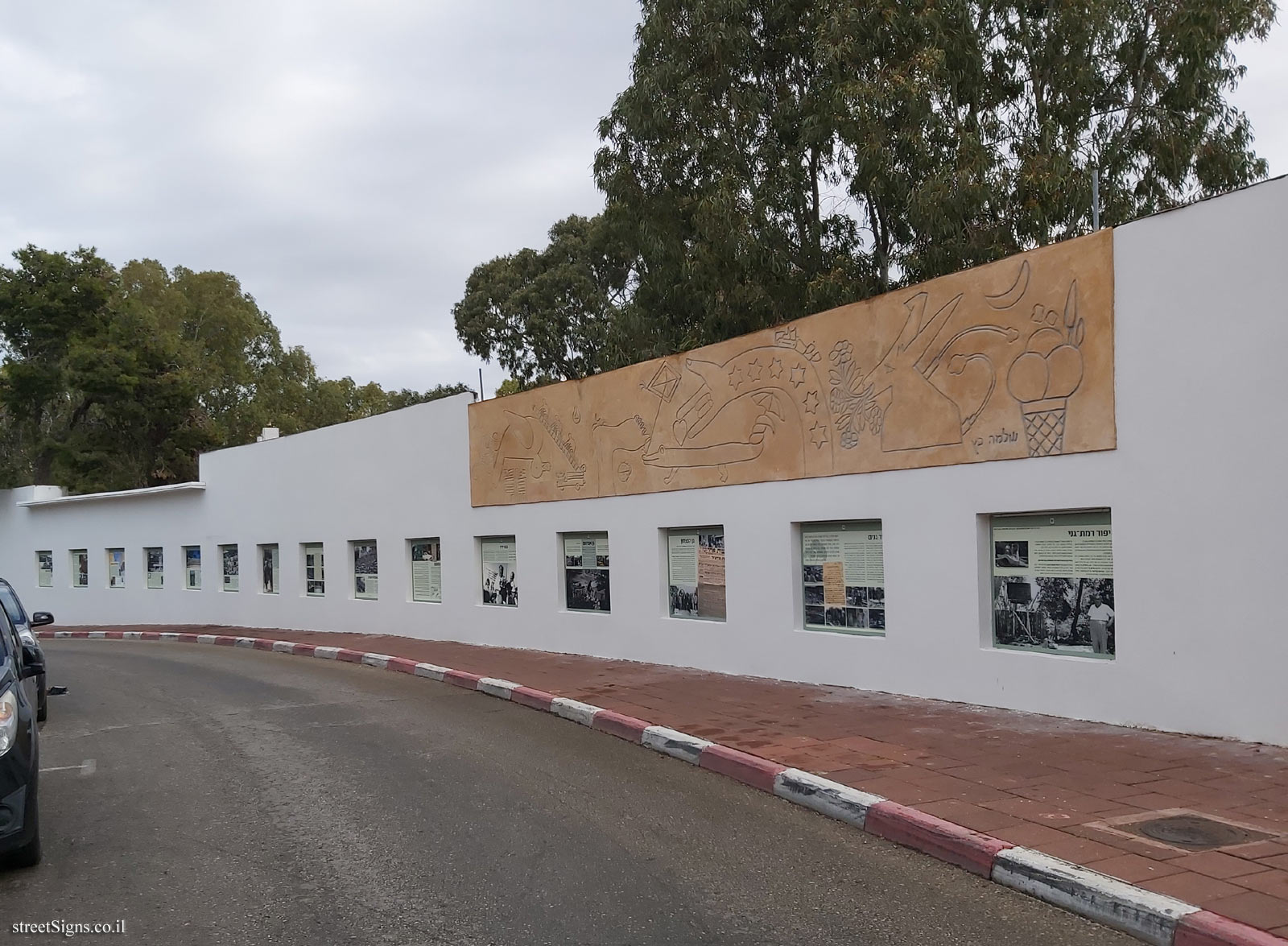
Picture from the open exhibition at the Abraham Garden, an exhibition commemorating the history of the city of Ramat Gan.
The exhibition is located on the wall of the amphitheater, in the Abraham Garden.
In the next photo taken that day, the exhibit is displayed and topped by Shlomo Katz’s Sgraffito
 Click for a larger image
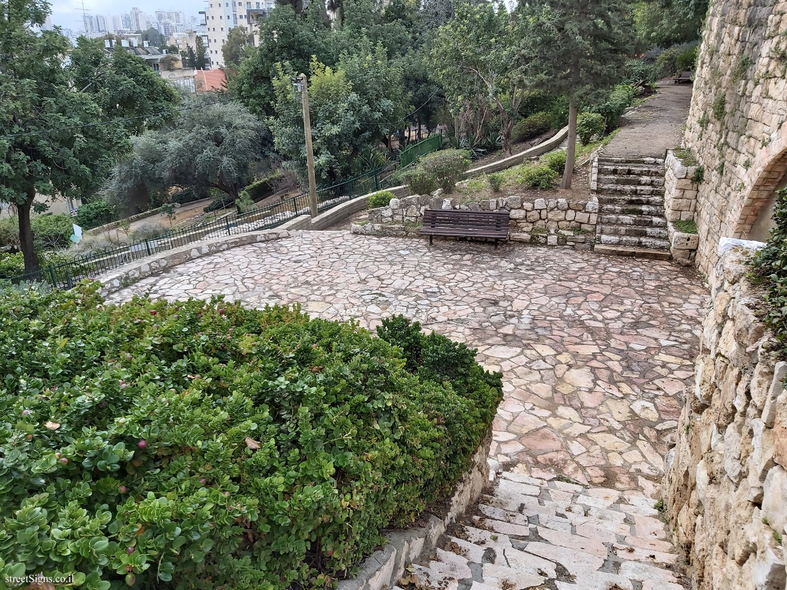
 The next photo taken that day shows the east side of the garden, on the right can be seen the tunnel opening
 Click for a larger image
 The Abraham Garden appears in other signs
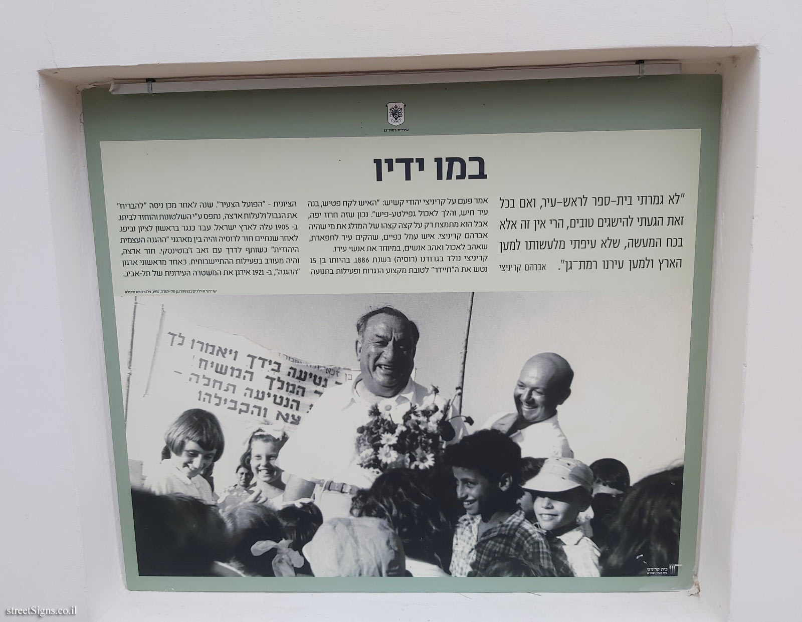
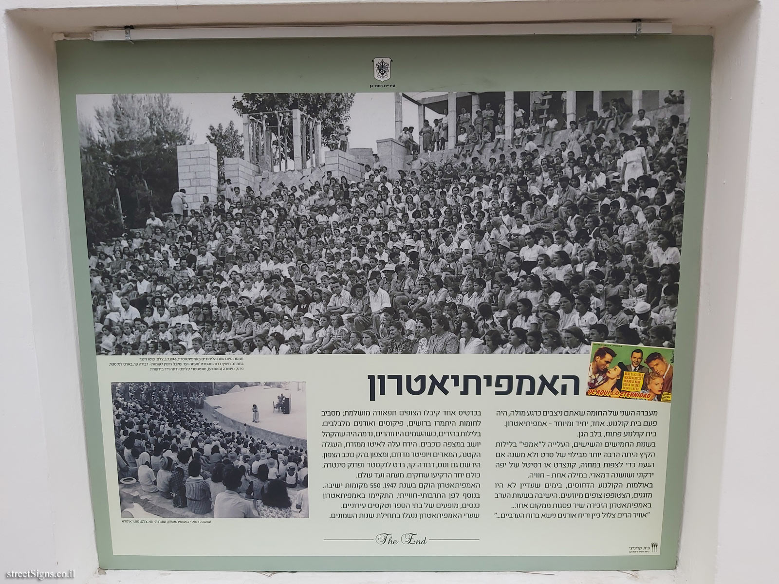
 Click for sign's details
,
 Click for sign's details
,
 Click for sign's details Translation of the text on the sign
:
Ramat Gan city symbol
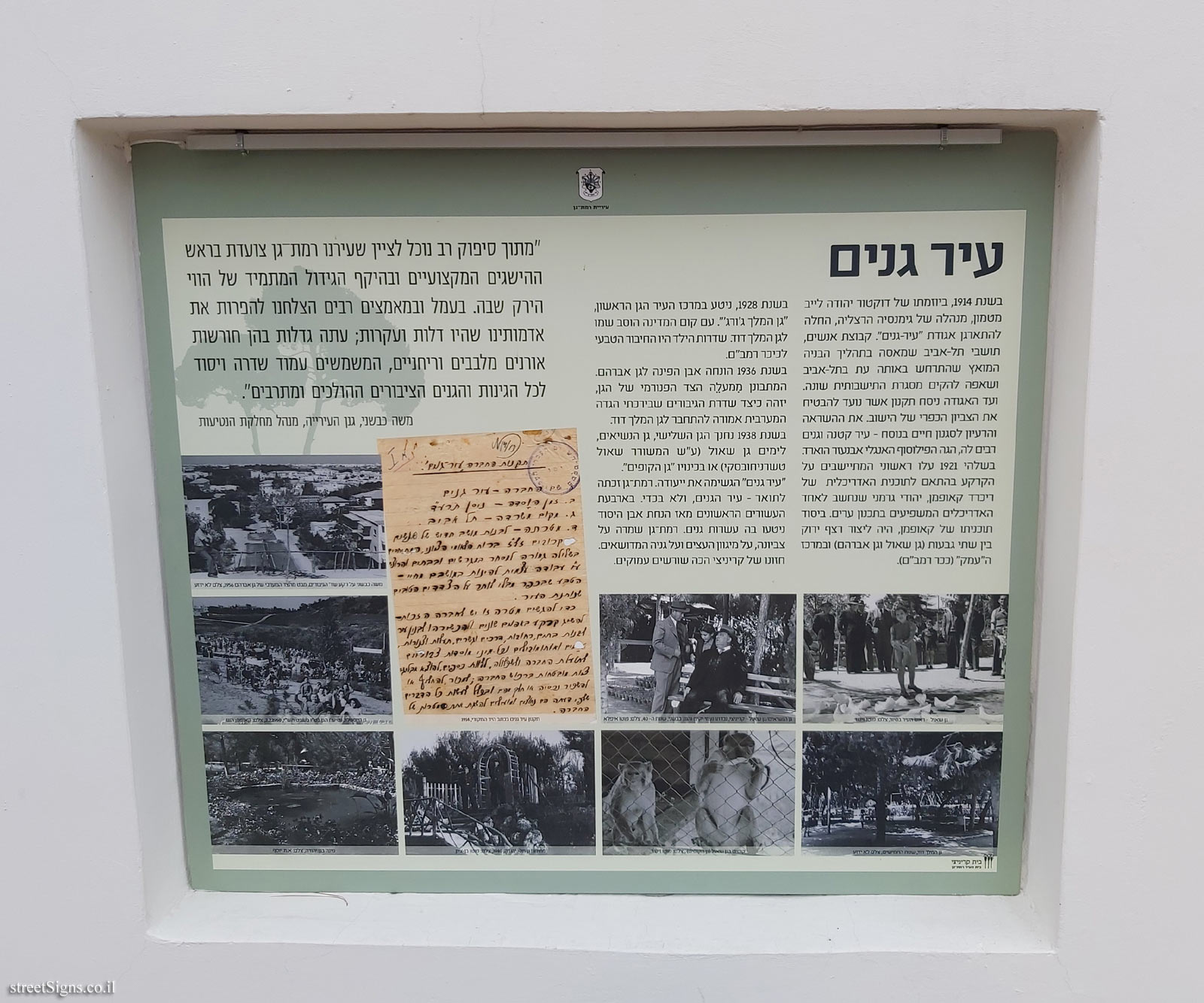
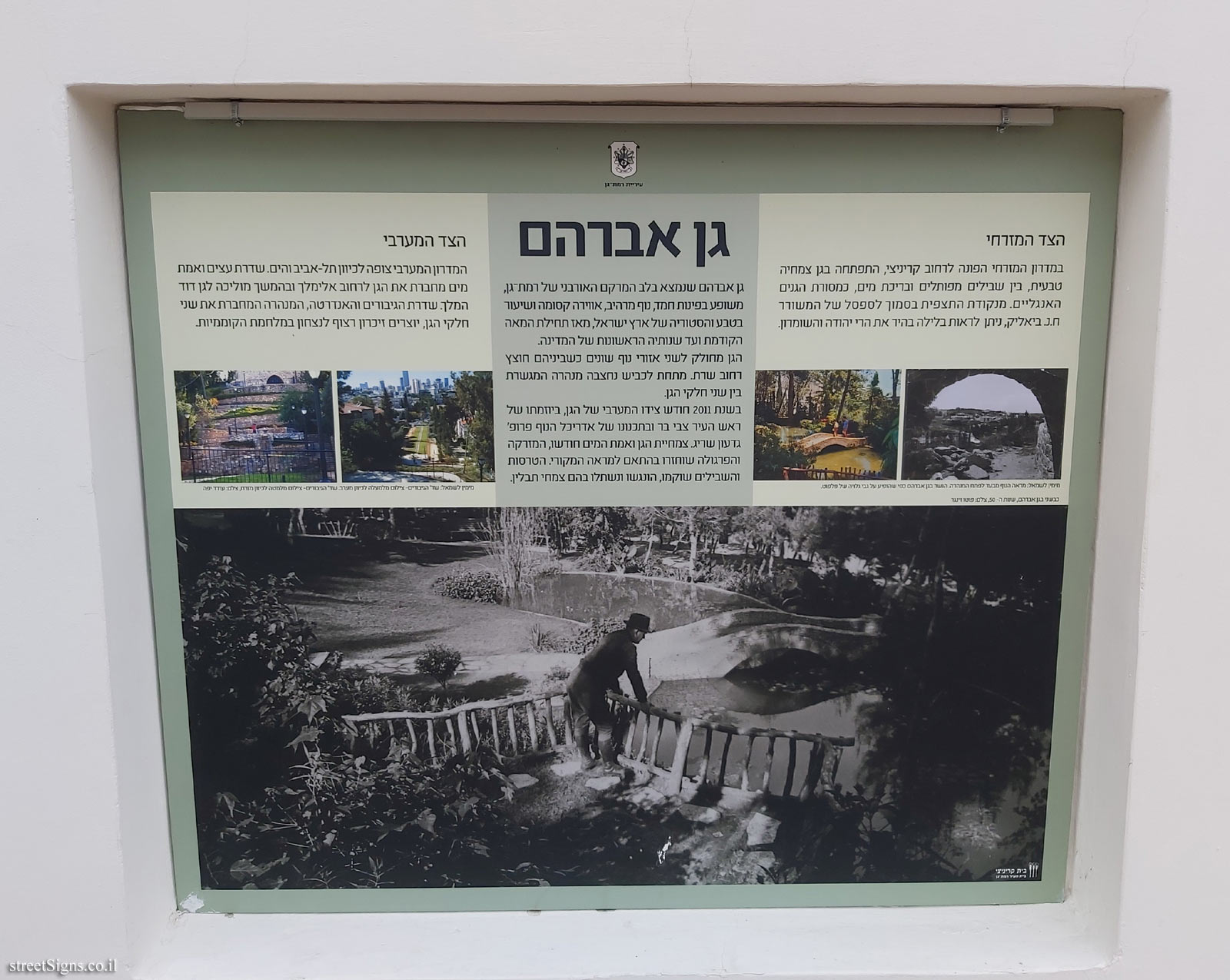
Garden of Abraham The Abraham Garden, located in the heart of Ramat-Gan’s urban fabric, is full of coveted corners, spectacular views, a magical atmosphere and a lesson in the nature and history of the Land of Israel, from the beginning of the last century to the early years of the country.
The garden is divided into two different landscaped areas with Sharet street dividing them. A tunnel connecting the two parts of the garden was hewn beneath the road.
In 2011, the west side of the garden was renewed, initiated by Mayor Zvi Bar, and designed by landscape architect Prof. Gideon Sarig. Garden vegetation and aqueduct were renewed, the fountain and pergola were restored in accordance with the original appearance. The terraces and paths were rehabilitated, accessed and planted with herbs.
[Picture on bottom of sign]
Kivshani in the Abraham Park, 1950s photographer: Photo Singer
East side On the eastern slope facing Krinitzi Street, a natural vegetation garden, between winding paths and a water pool, developed as a tradition of English gardens. From the vantage point near the bench of the poet HN. Bialik can be seen on a clear night the Judean and Samaria Mountains.
[Pictures]
Right to left: View through the tunnel opening. The bridge in the Abraham Garden as it appeared on a postcard of Falfoot.
Western side The western slope looks toward Tel Aviv and the sea. An avenue of trees and water truth connects the garden to Elimelech Street and later leads to King David’s Garden. The Heroes Avenue and Monument, the tunnel that connects the two parts of the garden, creates a continuous memory of victory in the War of Independence .
[Pictures]
Right to left: Heroes’ Blvd - top view to the west. Heroes’ Avenue - bottom view towards east, Photographer: Oded Yaffe
Krinitzi House
Ramat Gan City House


 Click for all signs belonging to The open exhibition at Ramat Gan
 2 Meter |
  4 Meter |
  4 Meter |
  6 Meter |
  8 Meter


 Click for the map of all signs belonging to The open exhibition at Ramat Gan
  Click for the route that starts with this sign and goes through the signs belonging to The open exhibition at Ramat Gan
 Click for more details on The open exhibition at Ramat Gan
 The closest sign from this series (2 Meter): Ramat Gan - Open Exhibition - With his own hands
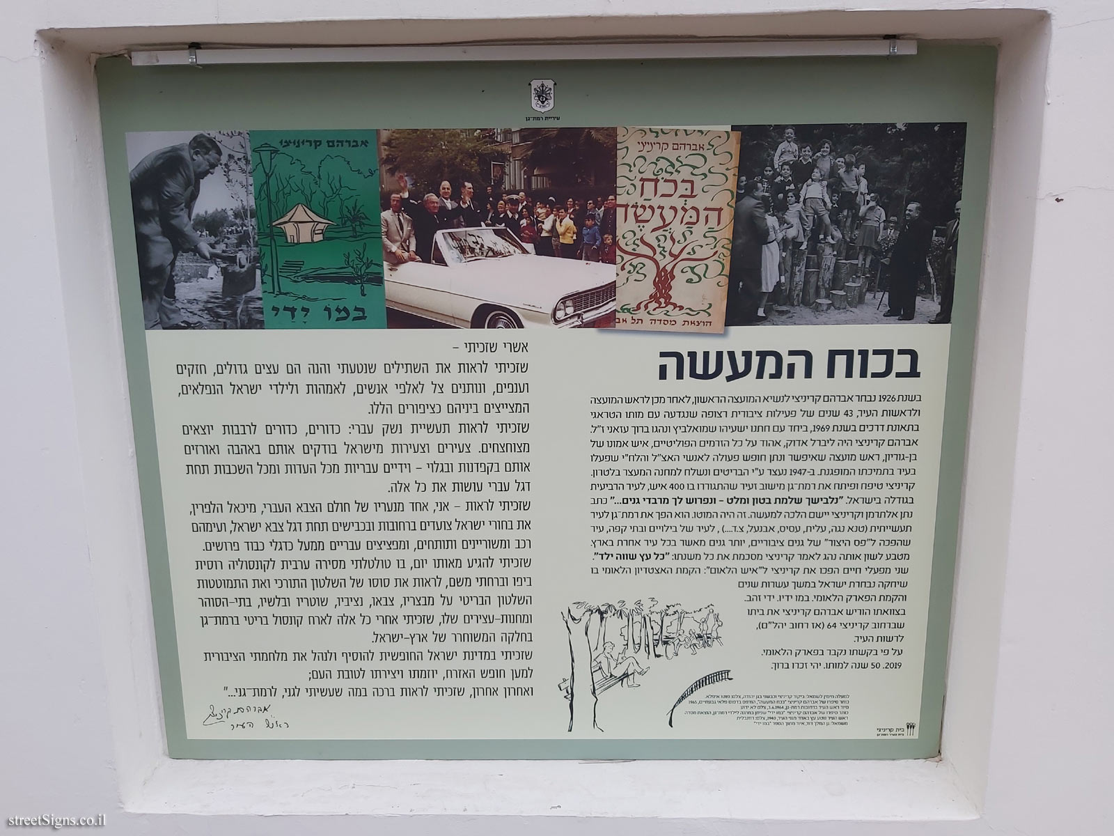