You must turn on the browser location services to get the route from your current location to the sign, and the distance (as the crow flies) from your current location to the sign.
After activating location services, refresh the page.
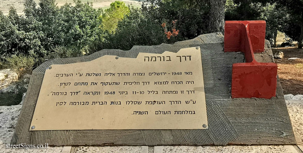
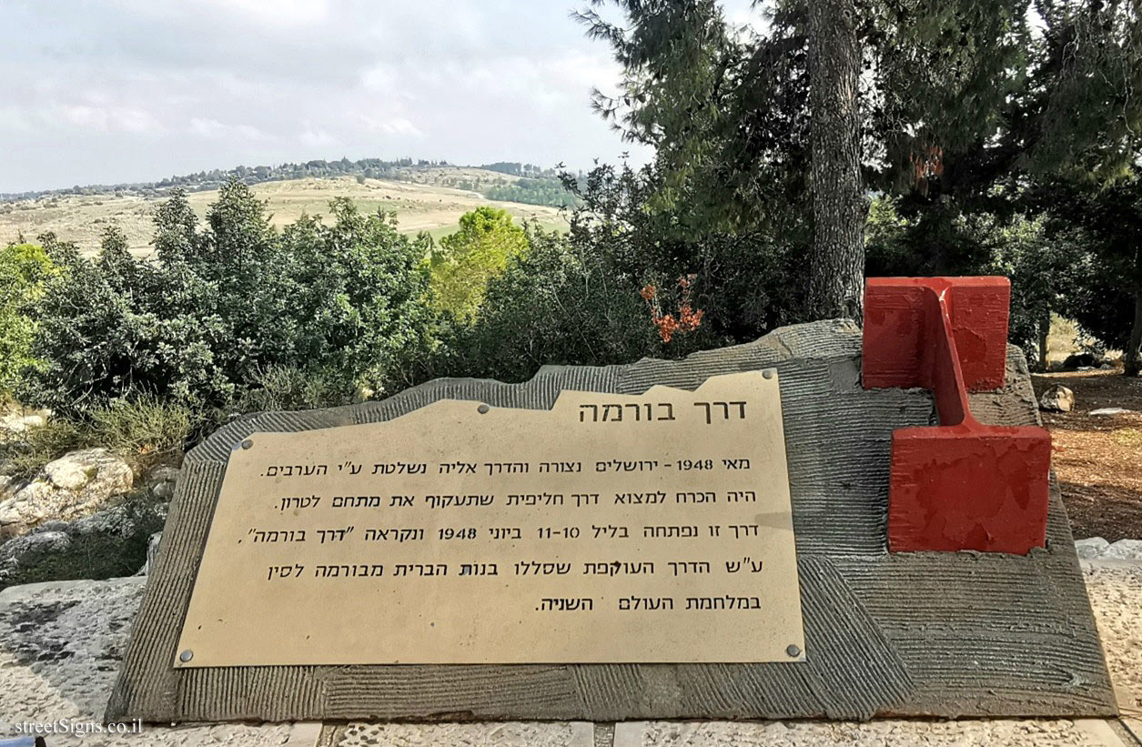
On the sign:
דרך בורמה מאי 1948 - ירושלים נצורה והדרך אליה נשלטת ע"י הערבים. היה הכרח למצוא דרך חליפית שתעקוף את מתחם לטרון. דרך זו נפתחה בליל 10-11 ביוני 1948 ונקראה "דרך בורמה" ע"ש הדרך העוקפת שסללו בנות הברית מבורמה לסין במלחמת העולם השניה.
The large picture from which the sign was taken shows the area where the route of the Burma Road Click for a larger image
Translation of the text on the sign: Burma Road May 1948 - Jerusalem is besieged and the road to it is controlled by the Arabs. It was necessary to find an alternative road that would bypass the Latrun compound. This road was opened on the night of June 10-11, 1948 and was called the "Burma Road" after the bypass road paved by the Allies from Burma to China in World War II.


 Click for a larger image