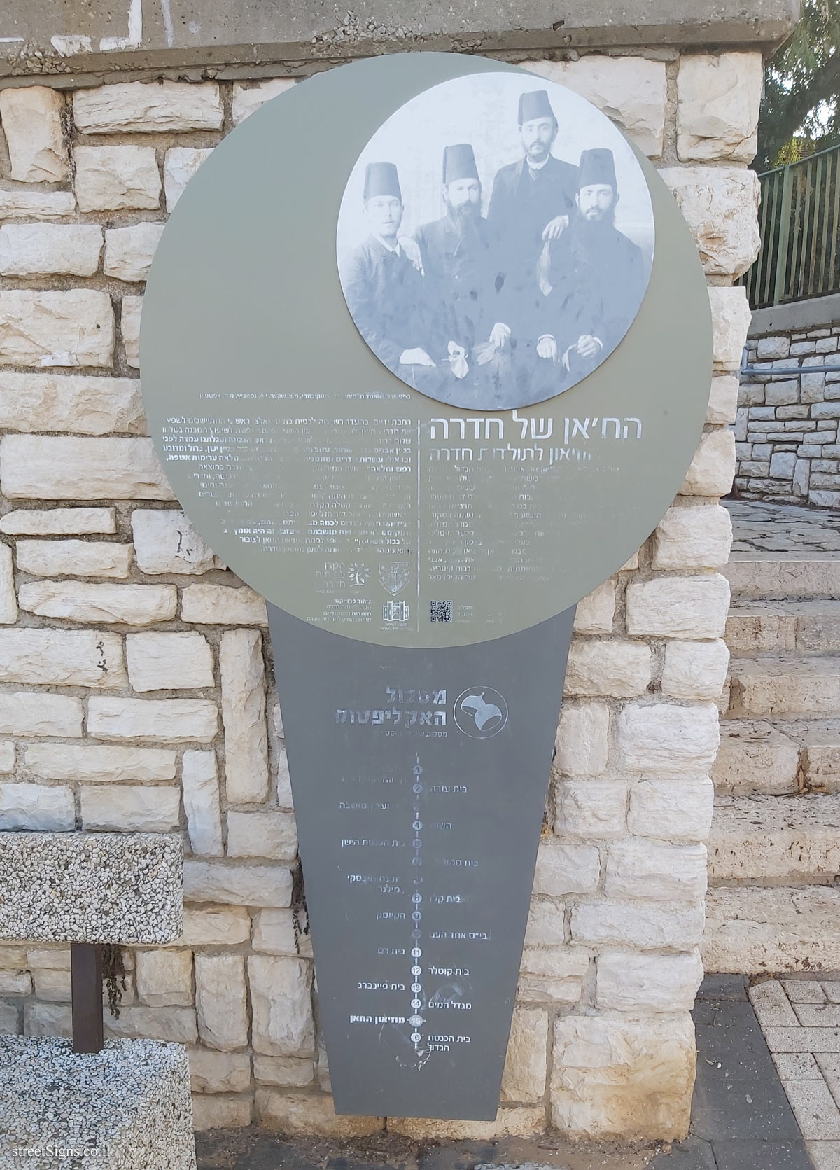
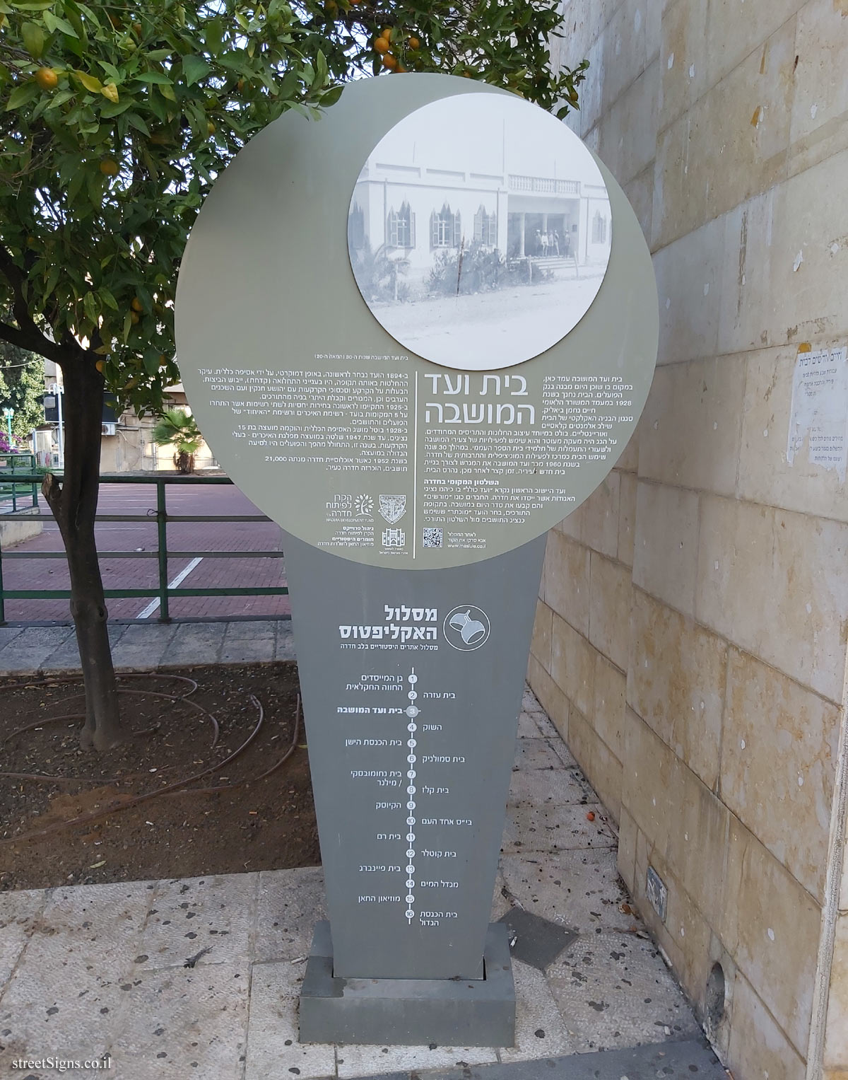
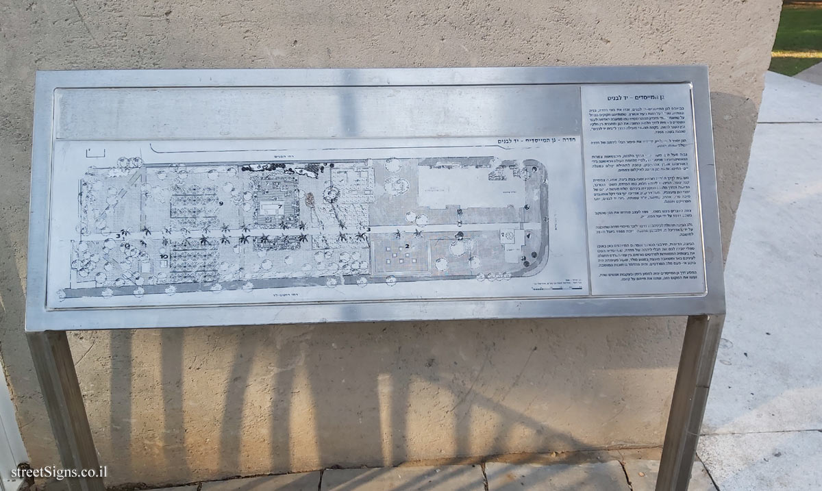
The Eucalyptus Trail is a trail of 16 historic sites in the heart of the city of Hadera. In addition to the signs placed at the points of the route, an illustration marking the route is stamped on the ground, as can be seen in the following sign
 Click for sign's details
 The synagogue was photographed that day
 Click for a larger image
 In the following image, a part of the sign is enlarged
 Click for a larger image
 Note: The QR code leading to the website listed on the sign - www.maslule.co.il - is not active
Translation of the text on the sign:
[Image]
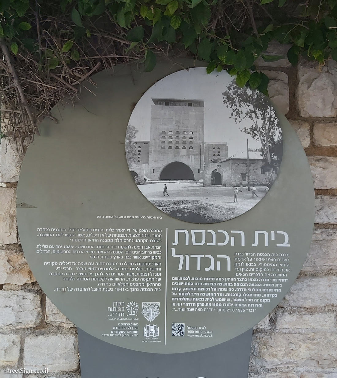
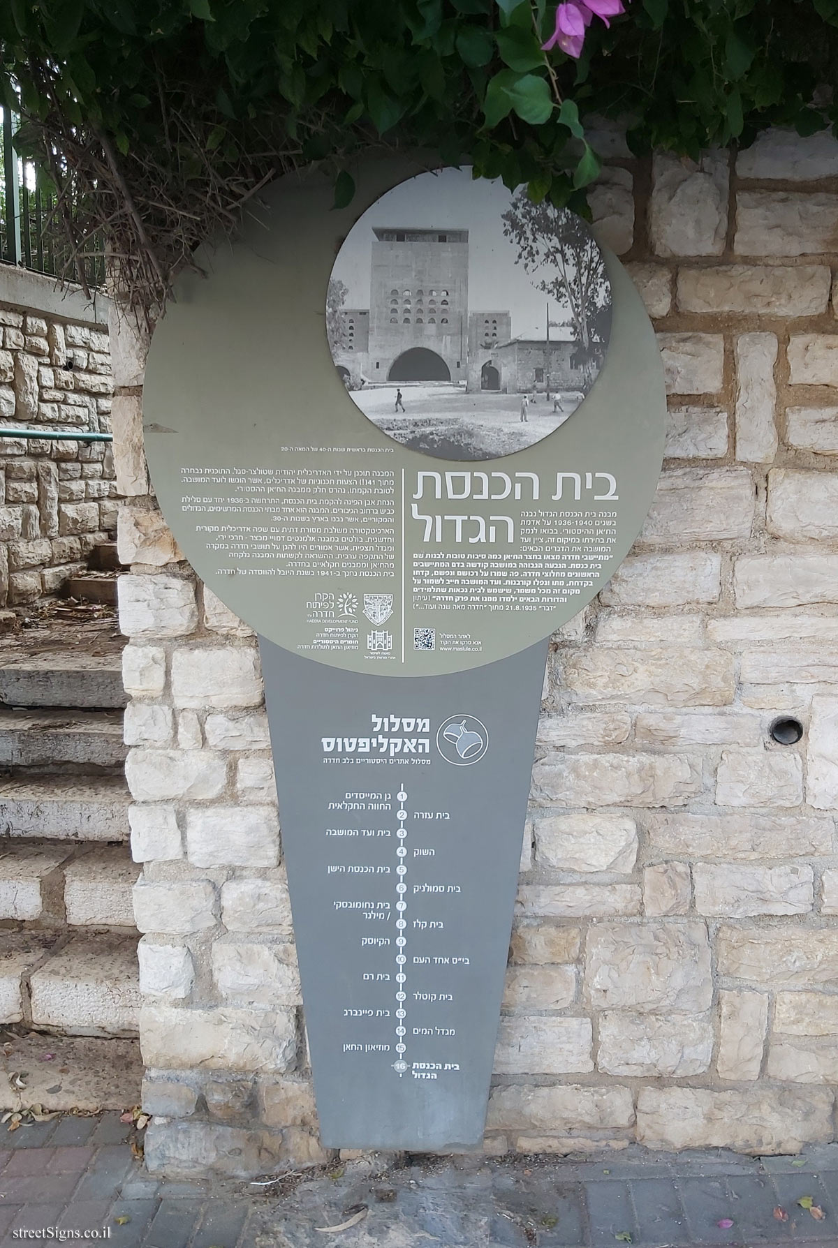
The synagogue in the early 1940s
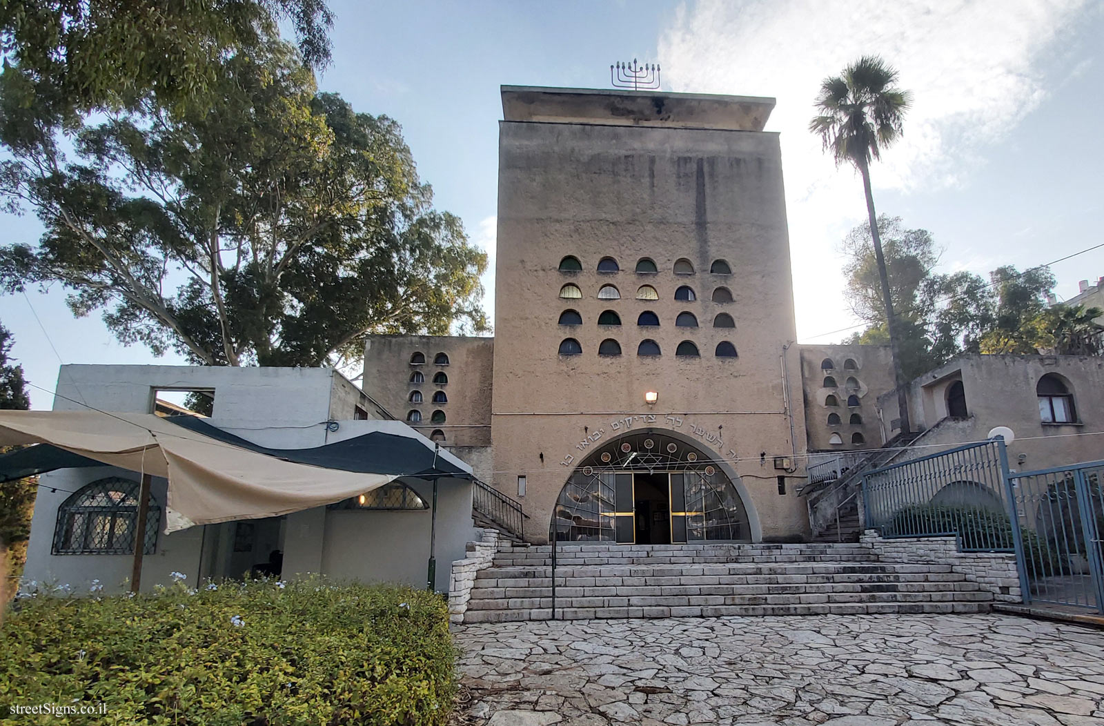
The Great Synagogue 1088/5000
The Great Synagogue building was built in 1936-1940 on the land of the historic Khan. In explaining his choice of this location, the Moshava Committee noted the following:
"The settlers of Hadera found in the Khan’s court some good reasons to build a synagogue there. The high hill in the colony was consecrated in the blood of the first settlers from the pioneers of Hadera. Here they guarded their property and soul, drilled with fever, died and fell victims. The Moshava Committee must preserve this place with all vigilance, which will be used for a museum from which future students and generations will learn the chapter of Hadera " (Davar newspaper, August 21, 1935, from "Hadera for a Hundred Years and More ...")
The building was designed by the architect Yehudit Stolzer-Segal. The plan was selected from 41 (!) Planning proposals by architects, which were submitted to the Colony Committee. In favor of its construction, part of the historic Khan building was demolished.
The laying of the cornerstone for the construction of the synagogue took place in 1936, along with the construction of a road on HaGiborim Street. The building is one of the most impressive, large and original synagogues, built in the country in the 1930s.
The architecture combines religious tradition with original and innovative architectural language. Prominent in the structure are fortress-like elements - firing slits, and an observation tower, which were supposed to protect the residents of Hadera in the event of an Arab attack. The inspiration for the arches of the building was taken from the Khan and from agricultural buildings in Hadera.
The synagogue was inaugurated in 1941 in the jubilee year of the founding of Hadera.
To the route website
QR code
Please scan the code
www.maslule.co.il
The emblem of the city of Hadera
Symbol of the Dre Development Fund
Symbol of the Council for the Preservation of Heritage Sites in Israel
Project management - Hadera Development Fund
Historical Materials - The Khan Museum of Hadera History
Eucalyptus route Historic sites route in the heart of Hadera
1. The Founders’ Garden, the agricultural farm / 2. Beit Ezra / 3. Beit HaMoshava / 4. The Market / 5. The Old Synagogue / 6. Beit Smolnik / 7. Beit Nakhumovsky / Milner / 8. Beit Kelz / 9. The Kiosk / 10. Ehad Ha’am School / 11. Beit Ram / 12. Kotler House / 13. Feinberg House / 14. Water Tower / 15. The Khan Museum / 16. The Great Synagogue


 Click for all signs belonging to Hadera - The eucalyptus track
 Click for the map of all signs belonging to Hadera - The eucalyptus track
  Click for the route that starts with this sign and goes through the signs belonging to Hadera - The eucalyptus track
 Click for more details on Hadera - The eucalyptus track
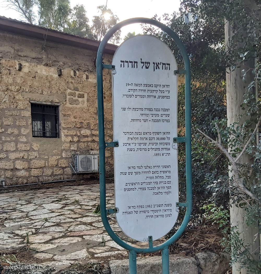
 The closest sign from this series (26 Meter): Hadera - The eucalyptus track - The Khan of Hadera
 239 Meter
 293 Meter
 335 Meter
 339 Meter
 374 Meter