Various signs
The ultimate street signs, historical sites and house numbers
× Want to add signs? There is an app! Get it on Google Play Download on the App Store

Sign: Lachish Training Base - The forests of the Lachish region

Address:
Lakhish, Israel
Category:
Country:
Shape:
Material:
Placement:
Tags:
Click here for a map that contains other items in the area

On the sign:
[סמל צבא הגנה לישראל]
[סמל מדרשת הדרום]

יערות החורש בחבל לכיש
יער אמציה - שוכן בלב חבל לכיש בגבול שבין צפון הנגב לשפלת יהודה. היער ניטע על ידי קק"ל ושמורת גבעות גד המוכרת שוכנת בתוכו. ביער תוכלו למצוא רבדים שונים של נוף - צמחייה מגוונת, ממצאים ארכיאולוגים והיסטוריה. היער בדומה למושב אמציה נקרא על שם אמציה מלך יהודה שנהרג באזור זה. באזור הצפוני של היער נמצאת שמורת גבעת גד ובראשה הקבר של השייח’ עלי. מפסגת הגבעה נשקפת תצפית היקפית מרשימה. נוף השמורה מורכב מהחורש הים תיכוני, ביניהם אלת המסטיק ואשחר ארץ-ישראלי, עצי חרוב מצוי ואורנים. בשמורה גדלים גם מיני צמחים האופייניים לספר המדבר, כמו מרווה ריחנית, שלהבית קצרת-שיניים ושמשון הדור. כמו כן יש בשמורה מגוון גיאופיטים כמו נרקיס מצוי, רקפת מצויה, כלנית מצויה ועירית גדולה. עולם החי באזור מגוון וכולל יונקים כמו צבוע, תן, צבי א"י, גירית ודרבן ומיני עופות כמו חוויאי, עקב עיטי, בז ועוד. הגבעות המתונות שימשו להתיישבות אדם בתקופות קדומות. בחורבות השונות התגלו שרידי מבנים, מתקנים חקלאיים, בורות מים, מערות פעמון ומחילות מסתור.

יער המלאכים, שחריה - היער משתרע על פני 7,000 דונם, נמצא כארבעה ק"מ ממזרח לקרית גת ומשתרע במקביל לכביש 35, היער נקרא על שמה של מעברת שחריה, שהוקמה בשנת 1956, מעט ממערב למקום בו ניטע היער. (עדיין קיימים שרידים הנמצאים במקום) חלק מיערות השפלה ובהם יער המלאכים, ניטעו ביוזמת קרן קימת לישראל על ידי תושבי המעברה, עם פירוק המעברה הוקמה במקום חווה של תנועת הקיבוץ המאוחד, שפורקה מאוחר יותר גם היא.
מי שתרם את הכסף לנטיעת היער היו קהילת יהודי לוס אנגל’ס ומכאן הגיע שמו השני של היער- אנג’לס -מלאכים.
אופייני מאוד ליער המלאכים בחורף זה הרקפות היפיפיות שצומחות וממלאות את היער. ביער ישנם אתרים מיוחדים וביניהם - חורבת כרוע שנמצאו בה שרידים ארכיאולוגיים מהתקופה הביזאנטית שמראים על התיישהות במקום.
Photography:
Add comments, corrections, or missing information. After clicking the "Submit" button you will be taken to a page where you will be required to specify your name and email address.
Please note, you do not need to specify details about the item, these details will be automatically added


Comments:
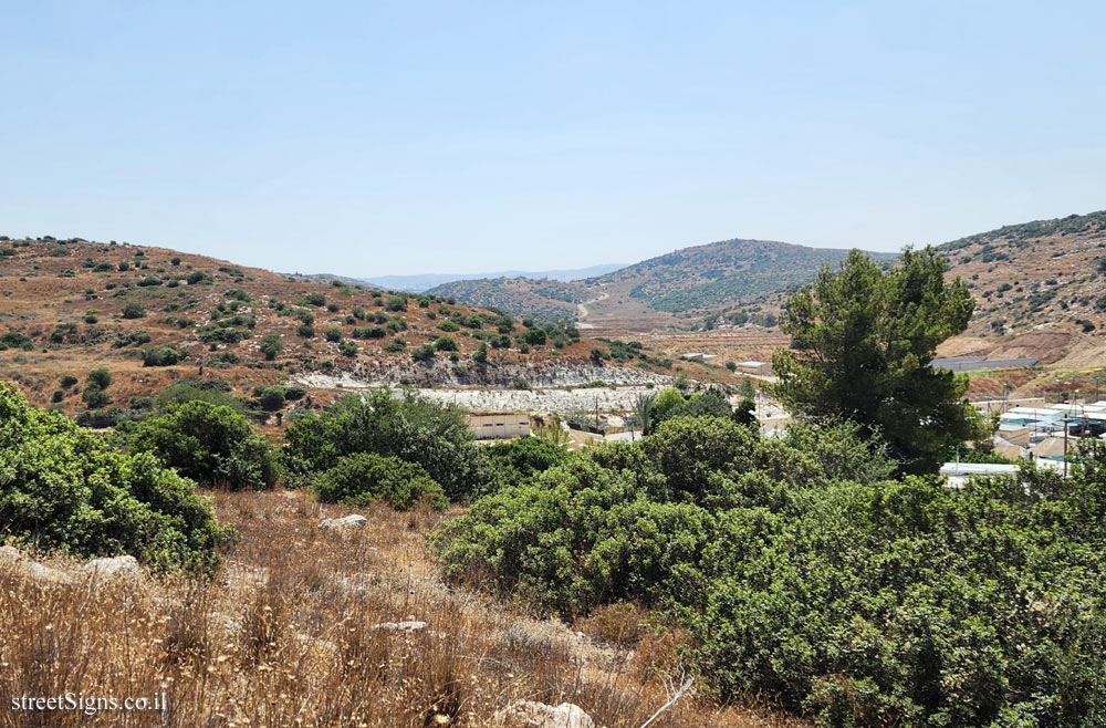
The area where the sign is located with a view of Mount Hebron was photographed on the same day by the same photographer Click for a larger image

The location is approximate since no geographic information was attached to the image.

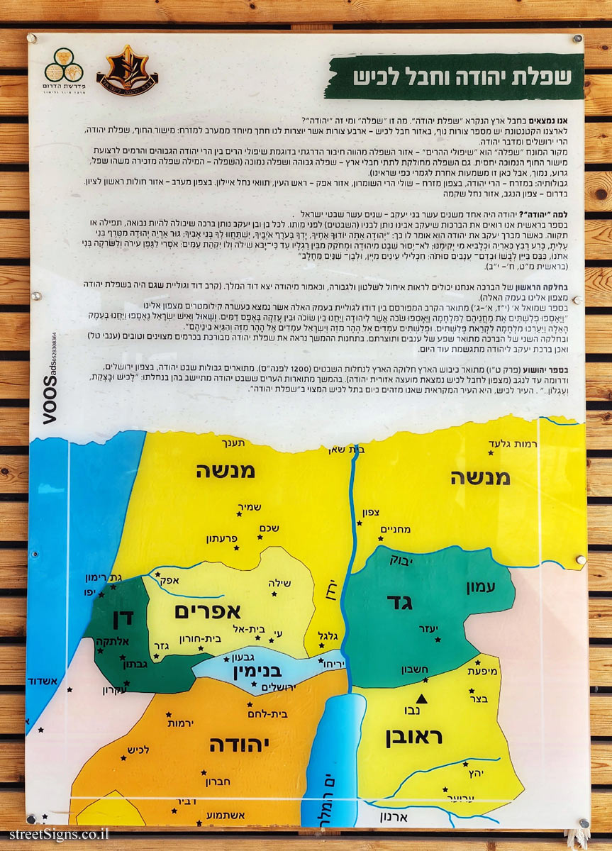
Translation of the text on the sign:
[Israel Defense Forces Symbol]
[Symbol of the Midrasha of the South]

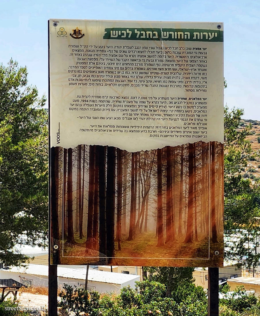
The forests of the Lachish region
Amaziah Forest - located in the heart of the Lachish region on the border between the northern Negev and the Judean Lowlands. The forest was planted by KKL and the well-known Givat Gad Reserve is located within it. In the forest you can find different layers of landscape - diverse vegetation, archaeological findings and history. The forest, like Moshav Amaziah, is named after Amatzia, King of Judah who was killed in this area. In the northern area of the forest is the Givat Gad Nature reserve and at the top of it is the tomb of Sheikh Ali. From the top of the hill there is an impressive peripheral view. The landscape of the reserve consists of the Mediterranean forest, among them the gum goddess and the Mediterranean buckthorn, common carob trees and pines. The reserve also grows species of plants typical of the desert, such as fragrant sage, Jerusalem Sage and Pink Sun-rose. The reserve also has a variety of geophytes such as common narcissus, common cyclamen, common anemone and large chives. The fauna in the area is diverse and includes mammals such as hyena, jackal, wildebeest, badger and porcupine and bird species such as hawksbill, eagle owl, falcon and more. The moderate hills were used for human settlement in ancient times. Remains of buildings, agricultural facilities, water cisterns, bell caves and hiding caves were discovered in the various ruins.

The Forest of the Angels, Shahria - the forest covers 7,000 dunams, is located about four kilometers east of Kiryat Gat and runs parallel to Highway 35, the forest is named after the Shahria Ma’abara, which was established in 1956, a little west of where the forest was planted. (Some of the lowland forests, including the Angels’ Forest, were planted at the initiative of the National Fund for Israel by the residents of the settlement, with the dismantling of the settlement, a farm of the united kibbutz movement was established in its place, which was later dismantled as well.
The ones who donated the money for the planting of the forest were the Jewish community of Los Angeles and this is where the second name of the forest came from - Angels.
Very typical of the angel forest in winter are the beautiful primroses that grow and fill the forest. There are special sites in the forest, among them - a ruined ruin where archaeological remains from the Byzantine period were found that show the obsolescence of the place.

Learn about:


The ultimate street signs, historical sites and house numbers

Initiating the site - Eli Zvuluny - Programming and building the site Possible Worlds Ltd. Possible Worlds Ltd. © 2019-2024

© ALL RIGHTS RESERVED - The site and its content are copyright protected. The full copyrights of the site's content belong to Eli Zvuluny. All images in the site (unless another photographer is mentioned) were taken by Eli Zvuluny that has the full copyrights on them. The use of any images or other materials included herein, in whole or part, for any purpose is expressly prohibited without the written permission of Eli Zvuluny. .