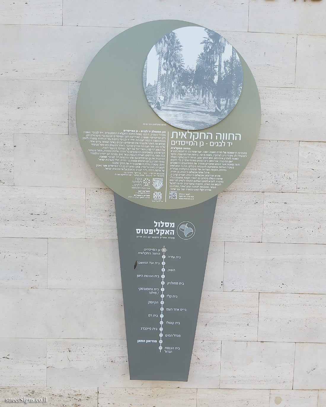
The Eucalyptus Trail is a trail of 16 historic sites in the heart of the city of Hadera. In addition to the signs placed at the points of the route, an illustration marking the route is stamped on the ground, as can be seen in the following sign
 Click for sign's details
 The vegetation in the Founders’ Garden was photographed that day
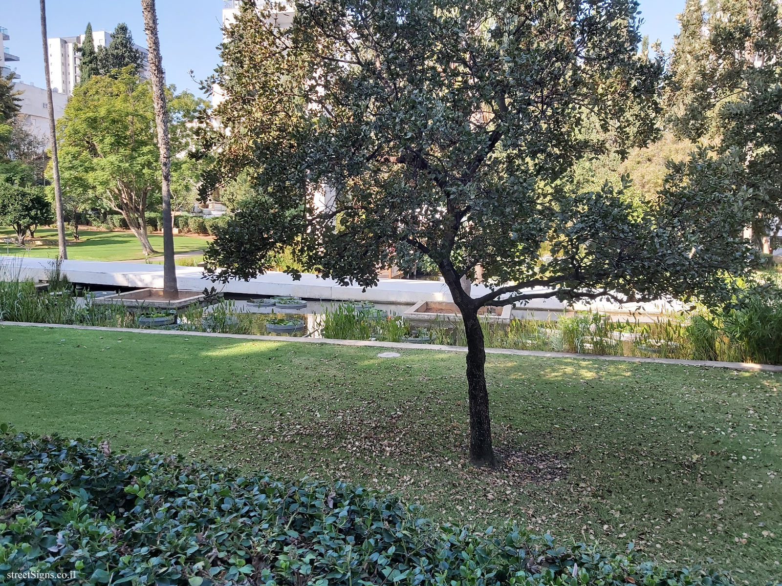 Click for a larger image
 The "White Road" was photographed that day
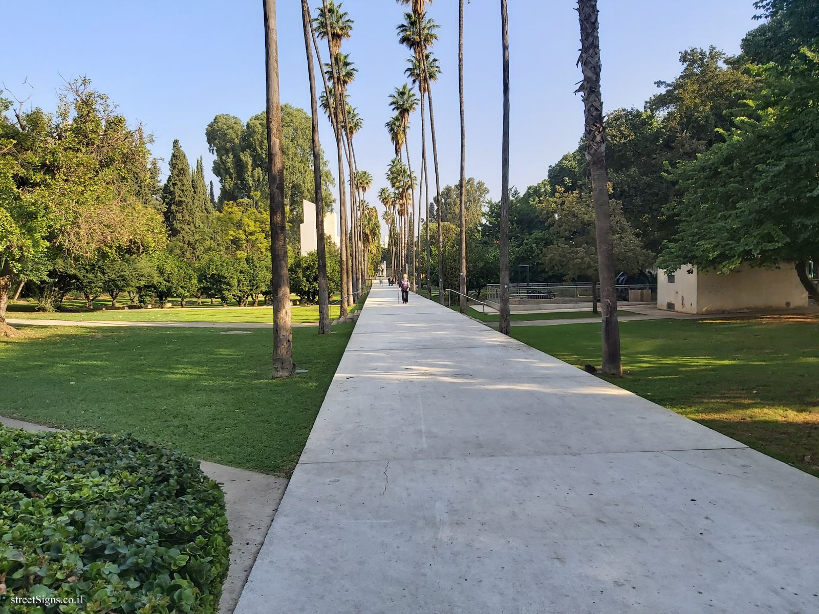 Click for a larger image
 The monument in memory of the founders was photographed that day
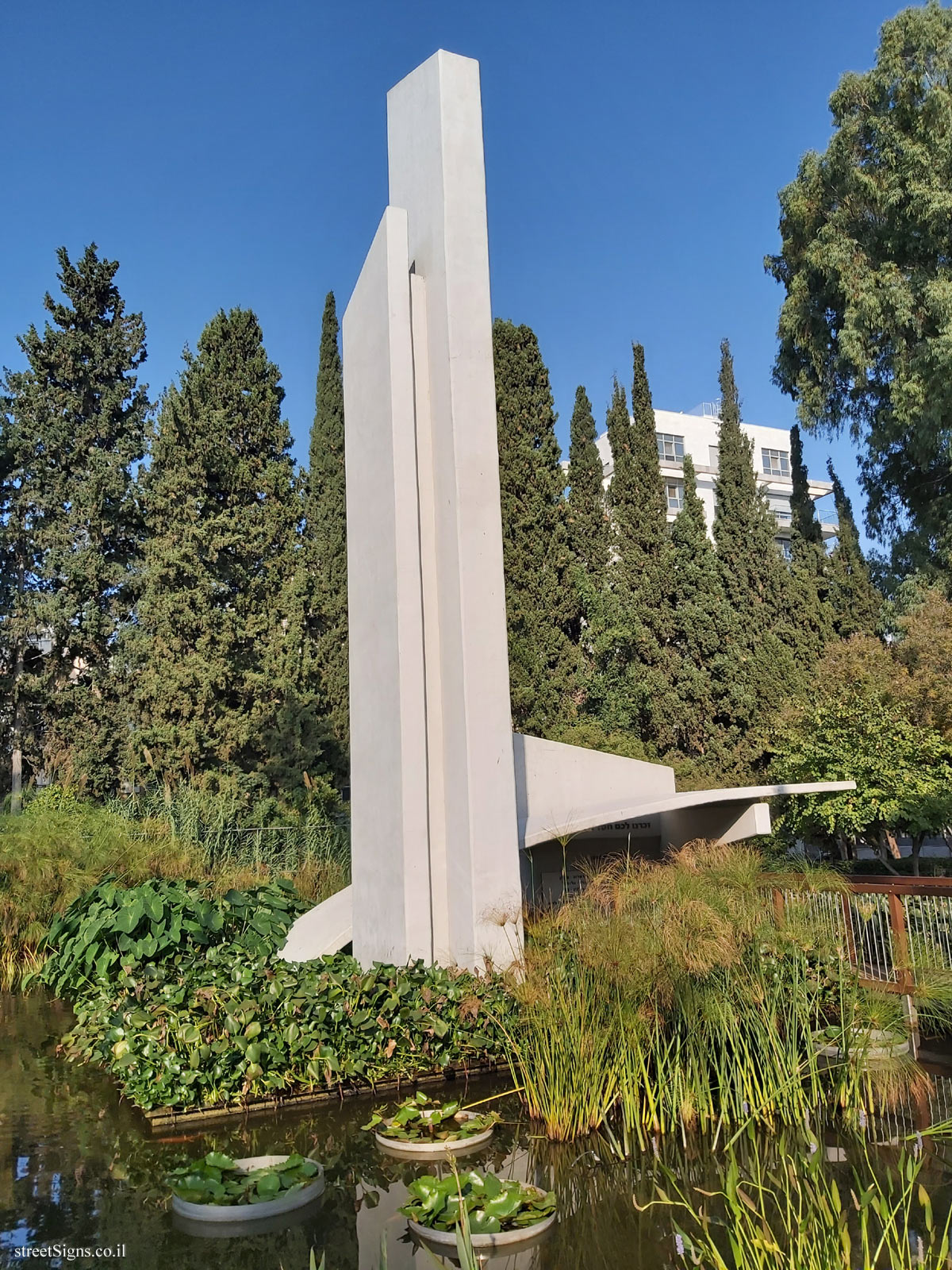 Click for a larger image
 The memorial pillars in memory of the people of Hadera who fell in the wars were photographed that day
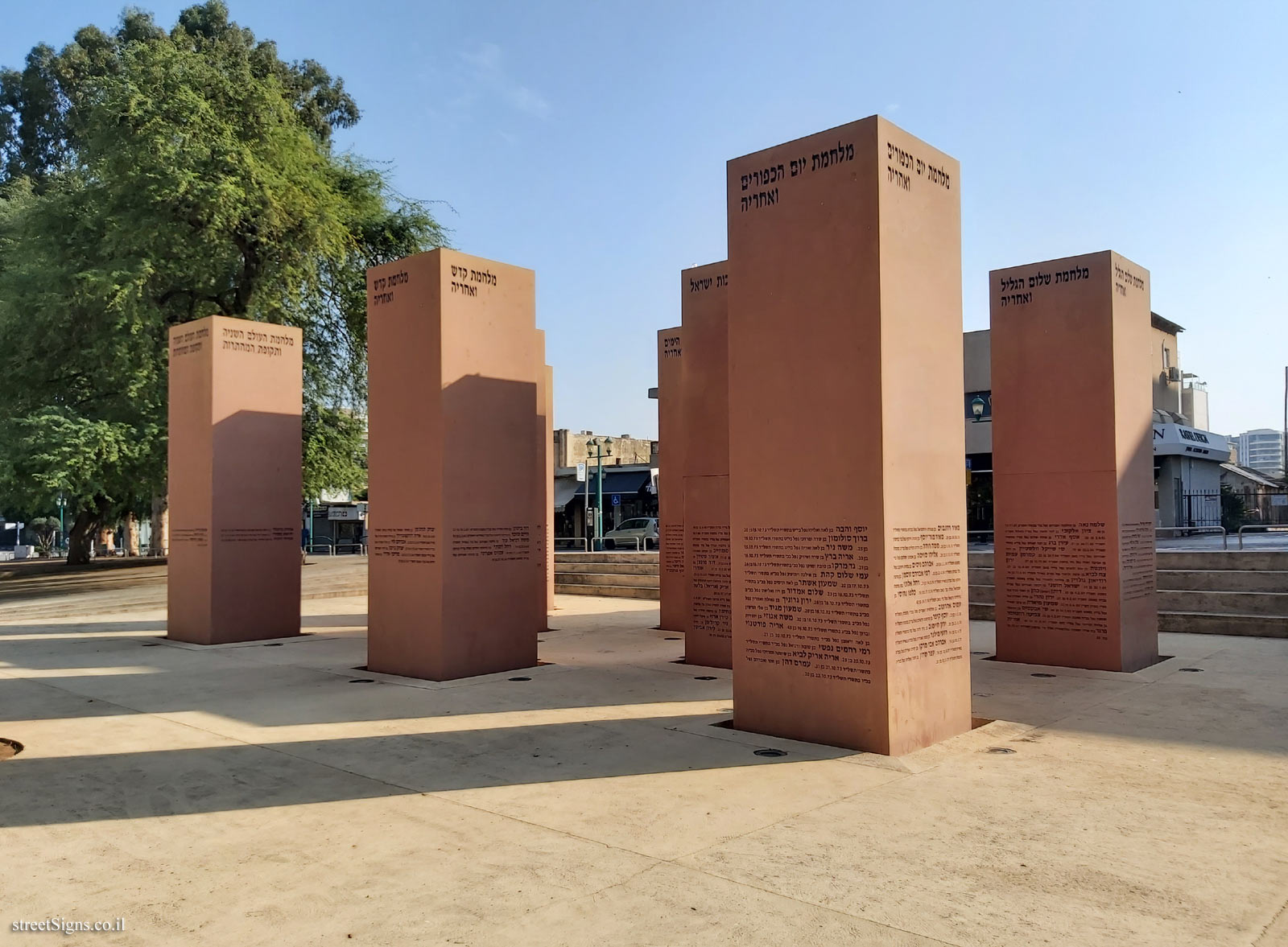 Click for a larger image
 In the following pictures, the parts of the sign are enlarged
 Click for a larger image
 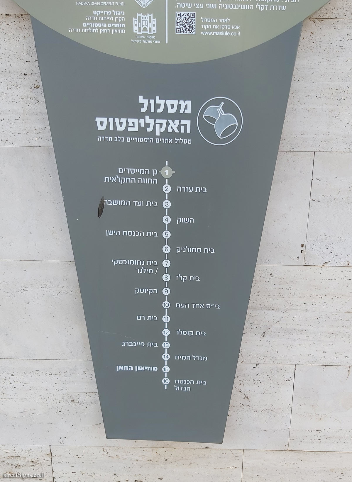 Click for a larger image
 Further description of the garden can be found on the sign near the entrance gate
 Click for sign's details
 Note: The QR code leading to the website listed on the sign - www.maslule.co.il - is not active
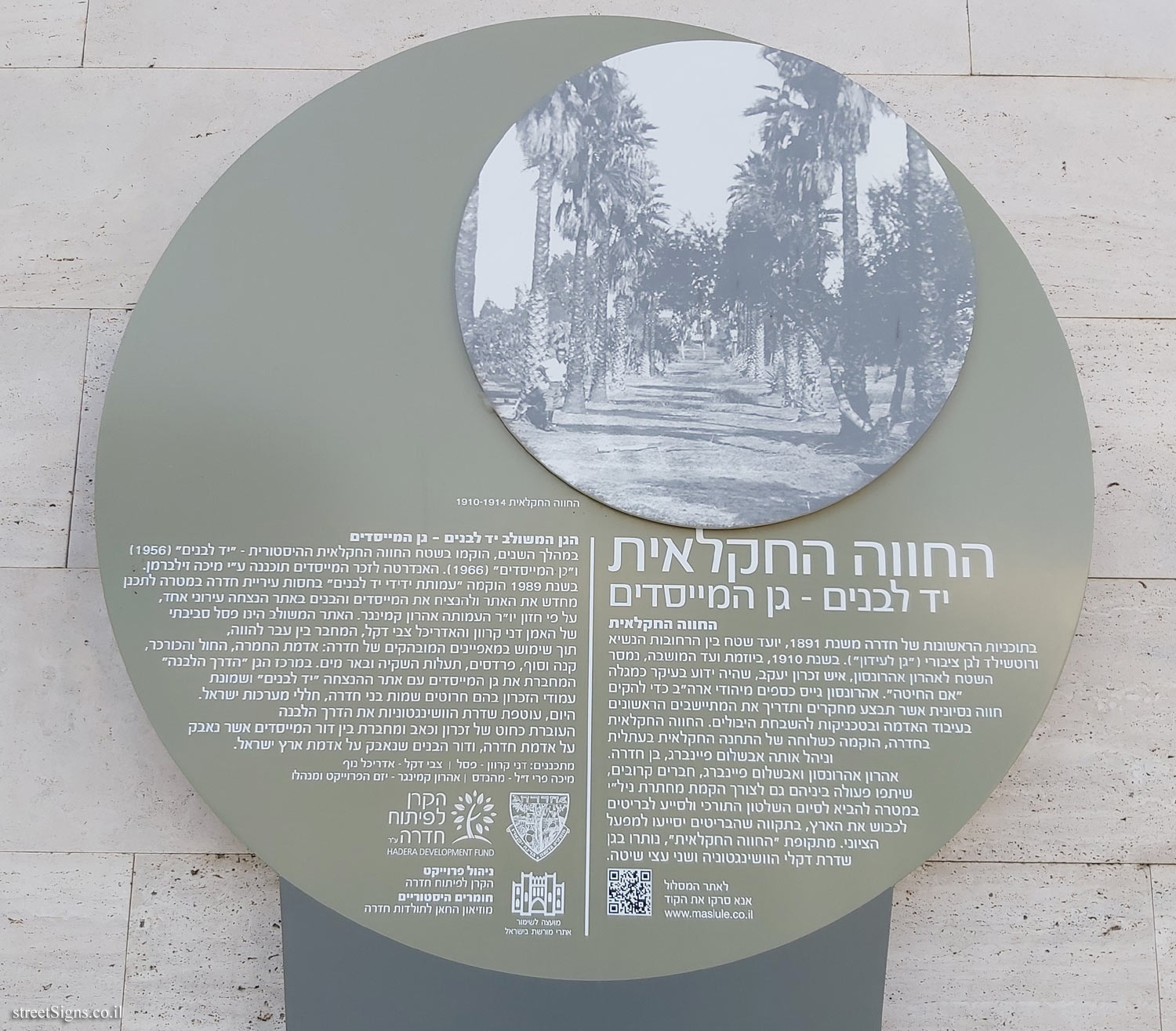
Translation of the text on the sign:
[Image]
The agricultural farm 1910-1914
The farm
Yad Labanim - Founders’ Garden The agricultural farm In Hadera’s first plans from 1891, an area between HaNassi and Rothschild streets was designated as a public park ("Garden of Refinement"). In 1910, at the initiative of the Moshava Committee, the area was handed over to Aharon Aharonoson, a man from Zichron Yaacov, who was best known as the "mother of wheat". Aaronson raised funds from American Jews to establish an experimental farm that would conduct research and guide the first settlers in tillage and techniques for improving crops. The agricultural farm in Hadera was established as an affiliate of the agricultural station in Atlit and managed by Avshalom Feinberg from Hadera.
Aharon Aharonson and Avshalom Feinberg, close friends, also collaborated with each other to establish the Nili underground in order to end Turkish rule and help the British occupy the country, in the hope that the British would help the Zionist enterprise. From the period of the "agricultural farm," Washingtonia Avenue and two acacia trees remain in the garden.
To the route website
QR code
Please scan the code
www.maslule.co.il
The Integrated Garden: Yad LaBanim - The Founders’ Garden Over the years, the historic agricultural farm - "Yad Labanim" (1956) and the "Founders’ Garden" (1966) were established on the site. The monument in memory of the founders was designed by Micha Zilberman.
In 1989, the Friends of Yad Labanim Association was established under the auspices of the Hadera Municipality with the aim of redesigning the site and commemorating the founders and sons of one municipal memorial site, according to the vision of the association’s chairman Aaron Kemmerer.
The combined site is an environmental sculpture by the artist Dani Karavan and the architect Zvi Dekel, which connects past and present, using the distinct characteristics of Hadera: hamra soil, sand and kurkar, reeds and end, orchards, irrigation canals and a water well. In the center of the garden is the "White Road" that connects the Founders’ Garden with the Yad Labanim memorial site and the eight memorial pillars engraved with the names of the people of Hadera, the victims of the Israeli military.
Today, Washington Avenue envelops the white road that runs like a thread of memory and pain and connects the generation of founders who fought for the land of Hadera, and the generation of boys who fought for the land of Israel.
Designers: Dani Karavan - Statue | Zvi Dekel - Landscape Architect
The late Micha Perry - Engineer | Aharon Kemminger - project developer and manager
The emblem of the city of Hadera
Symbol of the Dre Development Fund
Symbol of the Council for the Preservation of Heritage Sites in Israel
Project management - Hadera Development Fund
Historical Materials - The Khan Museum of Hadera History
Eucalyptus route Historic sites route in the heart of Hadera
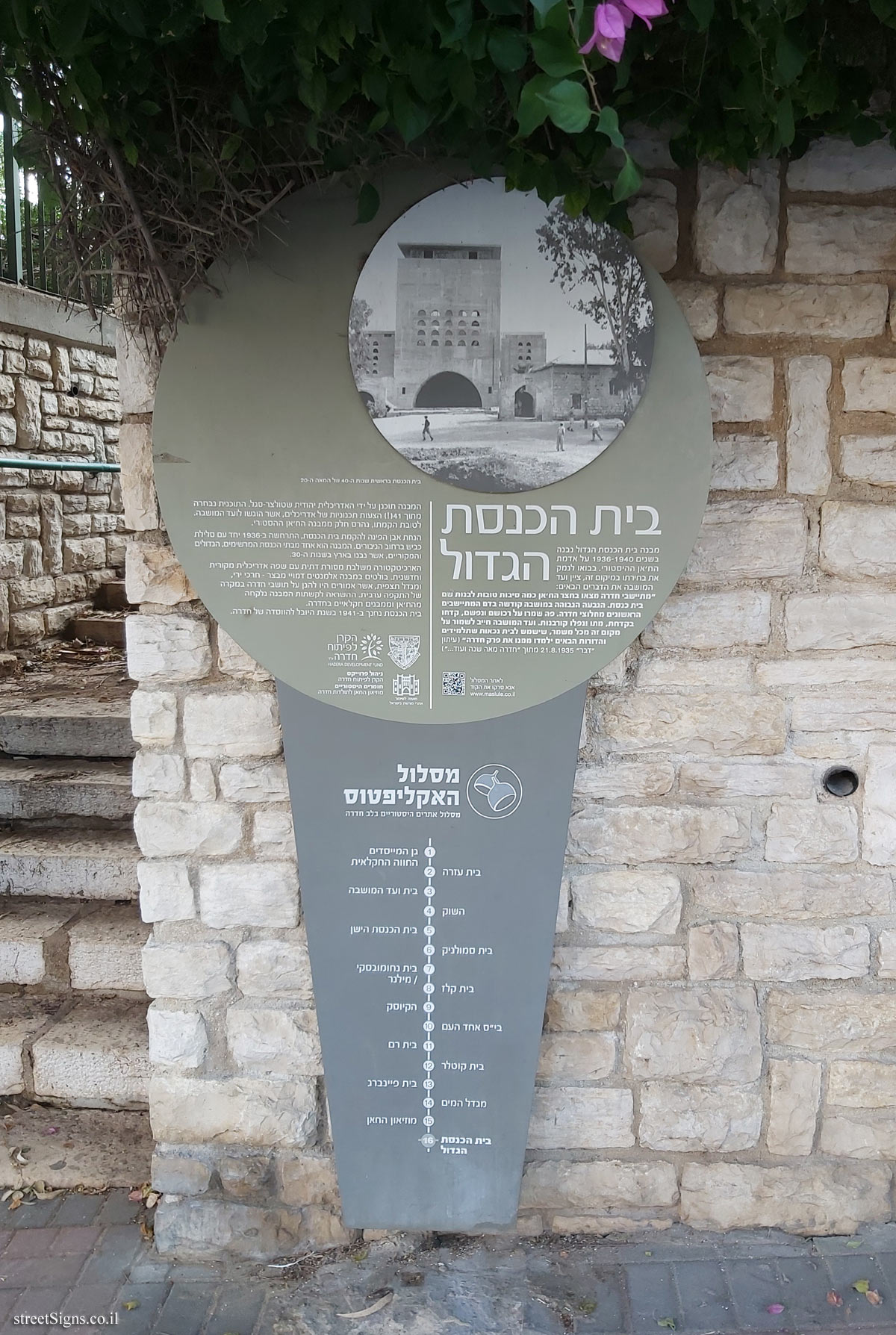
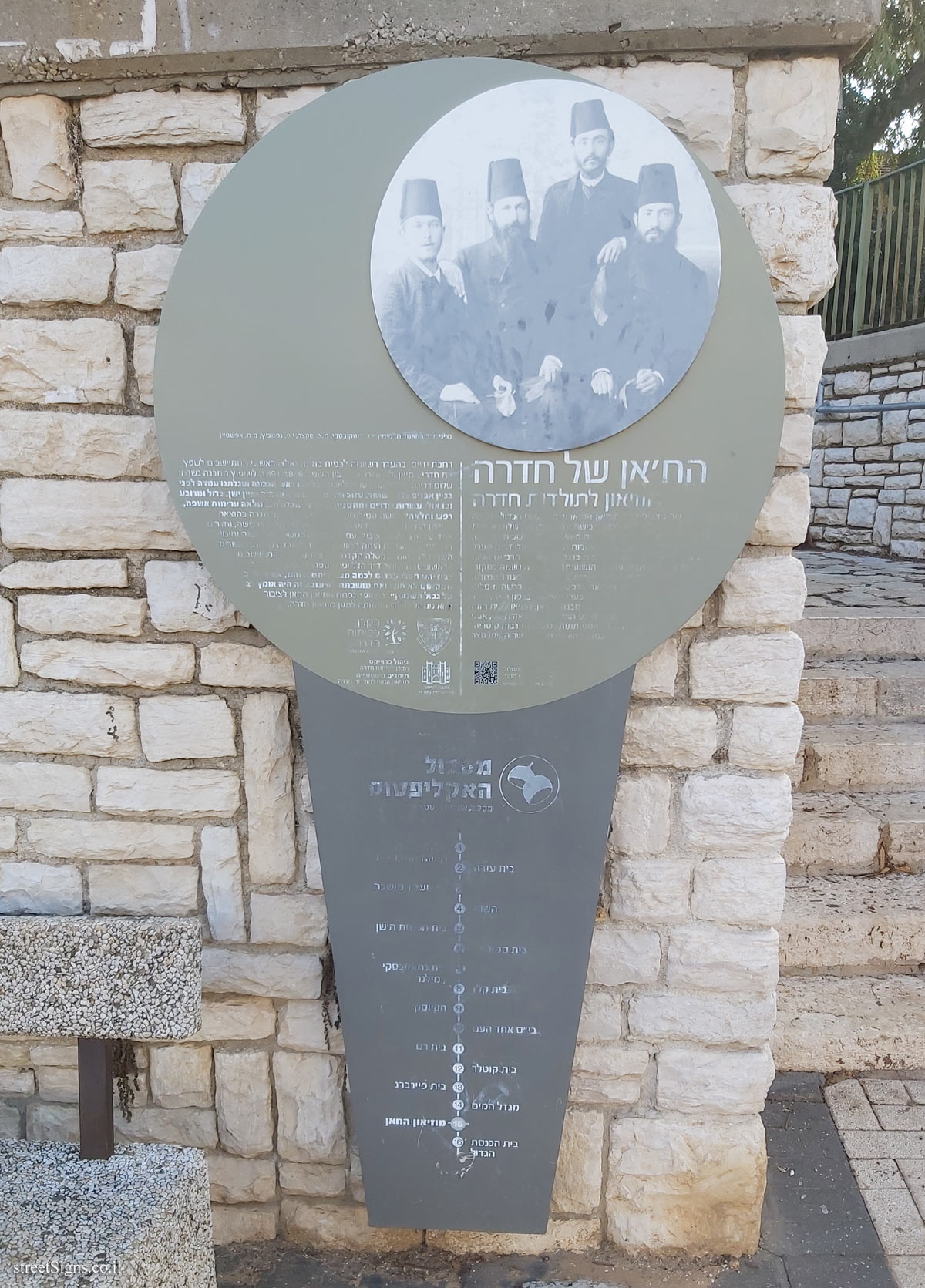
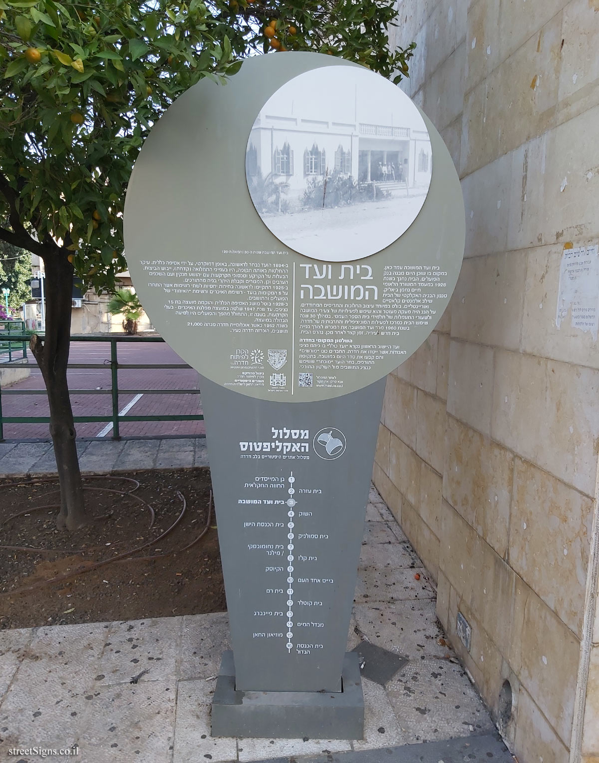
1. The Founders’ Garden, the agricultural farm / 2. Beit Ezra / 3. Beit HaMoshava / 4. The Market / 5. The Old Synagogue / 6. Beit Smolnik / 7. Beit Nakhumovsky / Milner / 8. Beit Kelz / 9. The Kiosk / 10. Ehad Ha’am School / 11. Beit Ram / 12. Kotler House / 13. Feinberg House / 14. Water Tower / 15. The Khan Museum / 16. The Great Synagogue
Learn about:


 Click for all signs belonging to Hadera - The eucalyptus track
 293 Meter |
  314 Meter |
  329 Meter |
  412 Meter |
  428 Meter


 Click for the map of all signs belonging to Hadera - The eucalyptus track
  Click for more details on Hadera - The eucalyptus track
 The closest sign from this series (42 Meter): Hadera - The eucalyptus track - the founders’ garden