The ultimate street signs, historical sites and house numbers


 Click for a larger image
 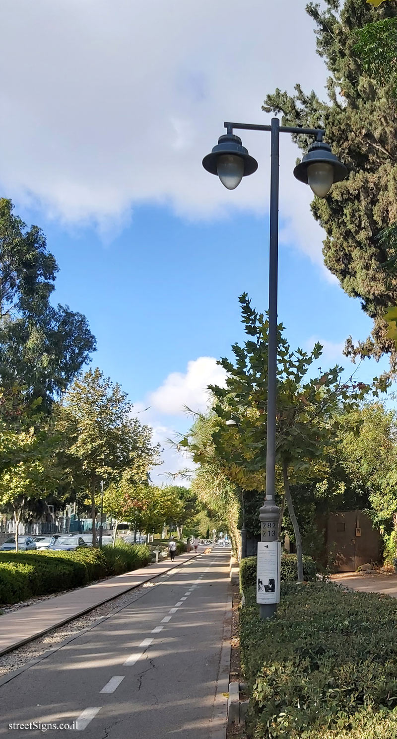 Click for a larger image
  Click for all signs belonging to Jerusalem - HaMesila Park - History of the railway line
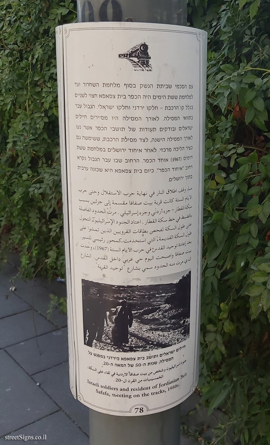
") 78 Meter |
78 Meter | ") 131 Meter |
131 Meter | ") 172 Meter |
172 Meter | ") 208 Meter |
208 Meter | ") 224 Meter
224 Meter


 Click for the map of all signs belonging to Jerusalem - HaMesila Park - History of the railway line
  Click for the route that starts with this sign and goes through the signs belonging to Jerusalem - HaMesila Park - History of the railway line
 Click for more details on Jerusalem - HaMesila Park - History of the railway line
 The closest sign from this series (34 Meter): Jerusalem - HaMesila Park - Beit Safafa neighborhood - History (78)
 ")